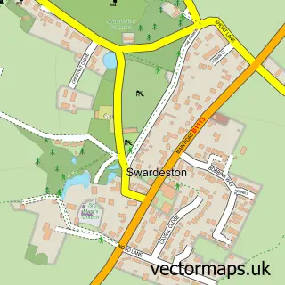
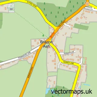
This Swainsthorpe street map is a detailed vector street map covering a 750m x 750m area. Select a larger area to create and download your own vector street map of Swainsthorpe.
The 750-metre map sample for Swainsthorpe covers 112 mapped buildings and approximately 7.0 km of road detail, of which 8 named roads are named. The immediate area includes 3 MOT stations within 2 miles. The wider area around Swainsthorpe features 1 food and drink venue. To create a larger or custom map of Swainsthorpe, the map builder lets you define your own coverage area and download editable SVG, PDF and PNG files.
Create a larger editable map of Swainsthorpe
Choose any area you need and generate a high-quality vector map instantly. Perfect for print, planning, design, business and personal use.

This Swainsthorpe street map in Norfolk is available as downloadable SVG, PDF and PNG map files, or as a printed map for planning, business, display, education, local information and design work. You can also create a larger custom map area using the map selector.
What this Swainsthorpe map sample shows
Swainsthorpe lies within Swainsthorpe Cp parish, part of Newton Flotman ward in the South Norfolk District local authority area. The postcode geography for this area includes the NR postcode area, the NR14 postcode district and the NR14 8 postcode sector. Residents fall under the Nhs Norfolk And Waveney Integrated Care Board for NHS services.
Local features near Swainsthorpe
Within 2 milesAmenities and services in and around Swainsthorpe.
Administrative and postcode information for Swainsthorpe
Swainsthorpe lies within Swainsthorpe Cp parish, part of Newton Flotman ward in the South Norfolk District local authority area. The postcode geography for this area includes the NR postcode area, the NR14 postcode district and the NR14 8 postcode sector. Residents fall under the Nhs Norfolk And Waveney Integrated Care Board for NHS services.
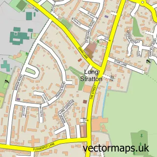
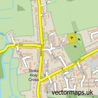
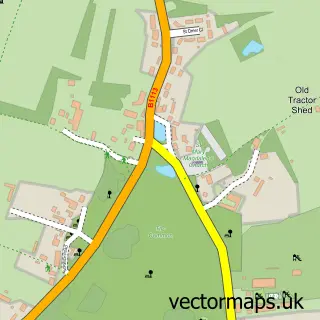
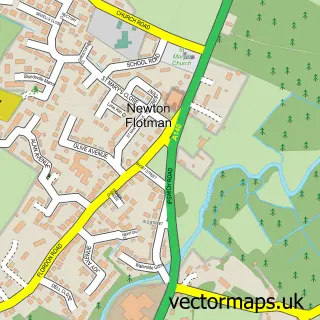
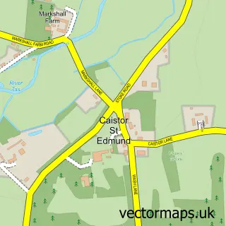
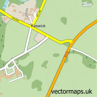
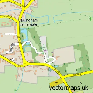
Nearby street map samples around Swainsthorpe

More street maps in Norfolk
750 metre map area coverage
Boundary, postcode and point of interest information for the 750m x 750m rectangle centred on this sample map.
Boundaries containing map centre
Constituency: South Norfolk Co Const
County: Norfolk County
District: South Norfolk District
Icb: NHS Norfolk and Waveney ICB
Parish: Swainsthorpe CP
Police Force: norfolk
Postcode District: NR14
Postcode Sector: NR14 8
Ward: Newton Flotman Ward
Nearby boundaries intersecting sample
No additional intersecting boundaries found.
Postcode coverage
POI category counts
Automotive Repair: 3
Anglican Church: 1
Building Supply Store: 1
Car Wash: 1
Church Cathedral: 1
Home Cleaning: 1
Home Improvement Store: 1
Landscaping: 1
Pet Groomer: 1
Professional Services: 1
Sample points of interest
- Swainsthorpe: St Peter
- A&A Autos Mini Specialist
- Norfolk Autos
- Tolhurst And Ford Mechanics
- Joyce Property Services Ltd
- Goodfellas Hand Carwash
- St Peter's Church
- Clear Thinking Property Solutions
- Norwich Residential Management
- D. Francis Paving & Landscaping
- Hot Diggety Dogs
- Joseph Casey Photography
Create a larger editable map of Swainsthorpe
This sample shows only a 750 metre area. To create a larger map of Swainsthorpe, use our map builder to choose your own coverage area, add titles and download editable SVG, PDF and PNG files.
Create a custom map of Swainsthorpe