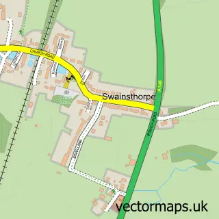
This Newton Flotman street map is a detailed vector street map covering a 750m x 750m area. Select a larger area to create and download your own vector street map of Newton Flotman.
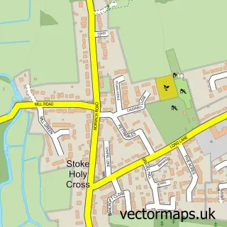
The 750-metre map sample for Newton Flotman covers 336 mapped buildings and approximately 17.1 km of road detail, of which 27 named roads are named. The immediate area includes 1 school and 1 MOT station, with 2 within 2 miles. The wider area around Newton Flotman features 1 tourism point of interest. To create a larger or custom map of Newton Flotman, the map builder lets you define your own coverage area and download editable SVG, PDF and PNG files.
Create a larger editable map of Newton Flotman
Choose any area you need and generate a high-quality vector map instantly. Perfect for print, planning, design, business and personal use.

This Newton Flotman street map in Norfolk is available as downloadable SVG, PDF and PNG map files, or as a printed map for planning, business, display, education, local information and design work. You can also create a larger custom map area using the map selector.
What this Newton Flotman map sample shows
Newton Flotman lies within Newton Flotman Cp parish, part of Newton Flotman ward in the South Norfolk District local authority area. The postcode geography for this area includes the NR postcode area, the NR15 postcode district and the NR15 1 postcode sector. Residents fall under the Nhs Norfolk And Waveney Integrated Care Board for NHS services.
Local features near Newton Flotman
Within 2 milesAmenities and services in and around Newton Flotman.
Administrative and postcode information for Newton Flotman
Newton Flotman lies within Newton Flotman Cp parish, part of Newton Flotman ward in the South Norfolk District local authority area. The postcode geography for this area includes the NR postcode area, the NR15 postcode district and the NR15 1 postcode sector. Residents fall under the Nhs Norfolk And Waveney Integrated Care Board for NHS services.
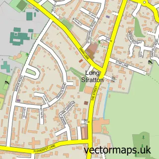
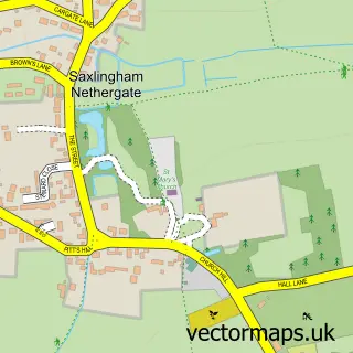
Nearby street map samples around Newton Flotman

More street maps in Norfolk
750 metre map area coverage
Boundary, postcode and point of interest information for the 750m x 750m rectangle centred on this sample map.
Boundaries containing map centre
Constituency: South Norfolk Co Const
County: Norfolk County
District: South Norfolk District
Icb: NHS Norfolk and Waveney ICB
Parish: Newton Flotman CP
Police Force: norfolk
Postcode District: NR15
Postcode Sector: NR15 1
Ward: Newton Flotman Ward
Nearby boundaries intersecting sample
Parish: Saxlingham Nethergate CP
Postcode coverage
POI category counts
Church Cathedral: 2
Motorcycle Dealer: 2
Roofing: 2
Advertising Agency: 1
Assisted Living Facility: 1
Bakery: 1
Barbecue Restaurant: 1
Beauty Salon: 1
Business Management Services: 1
Convenience Store: 1
Sample points of interest
- SEO Norwich
- Olive House
- Laura's Cakes and Bakes
- Fire and Feast
- Renew Nails & Beauty
- Mckibbin Management Consultants Ltd.
- St Mary's Church
- St Mary's Church Newton Flotman
- rss express
- Anglia Region Theatre School
- Newton Flotman Surgery
- Newton Flotman Primary School
Create a larger editable map of Newton Flotman
This sample shows only a 750 metre area. To create a larger map of Newton Flotman, use our map builder to choose your own coverage area, add titles and download editable SVG, PDF and PNG files.
Create a custom map of Newton Flotman