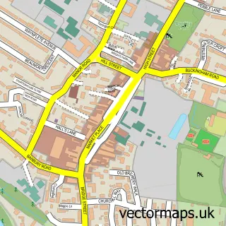
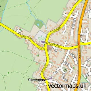
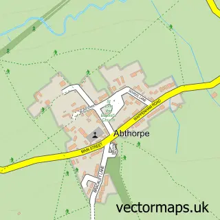
This Syresham street map is a detailed vector street map covering a 750m x 750m area. Select a larger area to create and download your own vector street map of Syresham.
The 750-metre map sample for Syresham covers 230 mapped buildings and approximately 11.6 km of road detail, of which 13 named roads are named. The immediate area includes 1 school and 1 pub. The wider area around Syresham features 1 tourism point of interest, 1 food and drink venue and 1 hotel. To create a larger or custom map of Syresham, the map builder lets you define your own coverage area and download editable SVG, PDF and PNG files.
Create a larger editable map of Syresham
Choose any area you need and generate a high-quality vector map instantly. Perfect for print, planning, design, business and personal use.

This Syresham street map in Northamptonshire is available as downloadable SVG, PDF and PNG map files, or as a printed map for planning, business, display, education, local information and design work. You can also create a larger custom map area using the map selector.
What this Syresham map sample shows
Syresham lies within Syresham Cp parish, part of Astwell ward in the West Northamptonshire local authority area. The postcode geography for this area includes the NN postcode area, the NN13 postcode district and the NN13 5 postcode sector. Residents fall under the Nhs Northamptonshire Integrated Care Board for NHS services.
Local features near Syresham
Within 2 milesAmenities and services in and around Syresham.
Administrative and postcode information for Syresham
Syresham lies within Syresham Cp parish, part of Astwell ward in the West Northamptonshire local authority area. The postcode geography for this area includes the NN postcode area, the NN13 postcode district and the NN13 5 postcode sector. Residents fall under the Nhs Northamptonshire Integrated Care Board for NHS services.
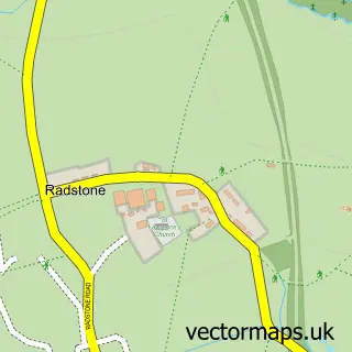
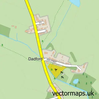
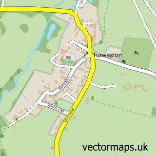
Nearby street map samples around Syresham

More street maps in Northamptonshire
750 metre map area coverage
Boundary, postcode and point of interest information for the 750m x 750m rectangle centred on this sample map.
Boundaries containing map centre
Constituency: South Northamptonshire Co Const
District: West Northamptonshire
Icb: NHS Northamptonshire ICB
Parish: Syresham CP
Police Force: northamptonshire
Postcode District: NN13
Postcode Sector: NN13 5
Ward: Rural South Northamptonshire Ward
Nearby boundaries intersecting sample
No additional intersecting boundaries found.
Postcode coverage
POI category counts
Elementary School: 2
Anglican Church: 1
Building Contractor: 1
Education: 1
Fence And Gate Sales Service: 1
Financial Service: 1
Hair Salon: 1
Home Goods Store: 1
Hotel: 1
Life Coach: 1
Sample points of interest
- St James the Great, Syresham
- Les Hawkins & Sons
- Small World
- Syresham St James CE Primary School
- The Friends of Syresham School
- Les and Sons Hawkins
- Western Union
- Elegance
- Russell's Transport
- The Priory Bed and Breakfast
- Red Clematis Coaching Services Ltd
- Syresham Playground
Create a larger editable map of Syresham
This sample shows only a 750 metre area. To create a larger map of Syresham, use our map builder to choose your own coverage area, add titles and download editable SVG, PDF and PNG files.
Create a custom map of Syresham