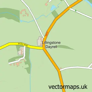
This Silverstone street map is a detailed vector street map covering a 750m x 750m area. Select a larger area to create and download your own vector street map of Silverstone.
The 750-metre map sample for Silverstone covers 390 mapped buildings and approximately 21.3 km of road detail, of which 23 named roads are named. The immediate area includes 1 pub and 2 MOT stations within 2 miles. The wider area around Silverstone features 1 tourism point of interest, 2 food and drink venues and 1 campsite within 2 miles. To create a larger or custom map of Silverstone, the map builder lets you define your own coverage area and download editable SVG, PDF and PNG files.
Create a larger editable map of Silverstone
Choose any area you need and generate a high-quality vector map instantly. Perfect for print, planning, design, business and personal use.

This Silverstone street map in Northamptonshire is available as downloadable SVG, PDF and PNG map files, or as a printed map for planning, business, display, education, local information and design work. You can also create a larger custom map area using the map selector.
What this Silverstone map sample shows
Silverstone lies within Silverstone Cp parish, part of Silverstone ward in the West Northamptonshire local authority area. The postcode geography for this area includes the NN postcode area, the NN12 postcode district and the NN12 8 postcode sector. Residents fall under the Nhs Northamptonshire Integrated Care Board for NHS services.
Local features near Silverstone
Within 2 milesAmenities and services in and around Silverstone.
Administrative and postcode information for Silverstone
The local authority covering Silverstone is West Northamptonshire, within the county of Northamptonshire. The settlement lies within Silverstone ward and Silverstone Cp civil parish. The NN12 postcode district and NN12 8 postcode sector serve the immediate area. NHS provision in the area is delivered through Northampton General Hospital Nhs Trust.
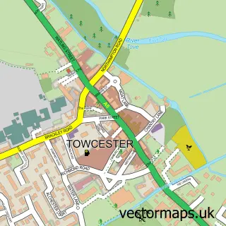
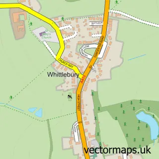
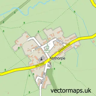
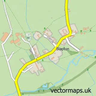
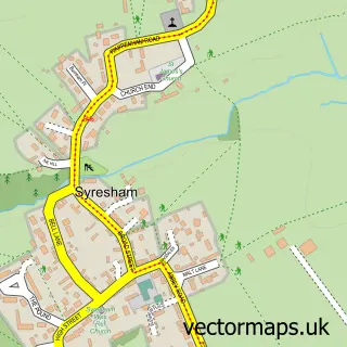
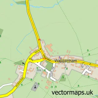
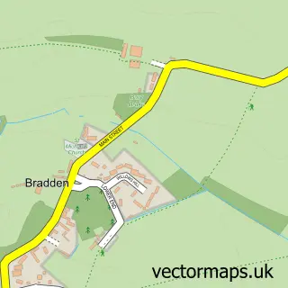
Nearby street map samples around Silverstone

More street maps in Northamptonshire
750 metre map area coverage
Boundary, postcode and point of interest information for the 750m x 750m rectangle centred on this sample map.
Boundaries containing map centre
Constituency: South Northamptonshire Co Const
District: West Northamptonshire
Icb: NHS Northamptonshire ICB
Parish: Silverstone CP
Police Force: northamptonshire
Postcode District: NN12
Postcode Sector: NN12 8
Ward: Rural South Northamptonshire Ward
Nearby boundaries intersecting sample
No additional intersecting boundaries found.
Postcode coverage
POI category counts
Beauty Salon: 2
Bed And Breakfast: 2
Church Cathedral: 2
Convenience Store: 2
Doctor: 2
Retail: 2
Shipping Center: 2
Advertising Agency: 1
Alternative Medicine: 1
Anglican Church: 1
Sample points of interest
- Remark Research & Marketing Consultancy
- Holistic Tree Therapies
- The Whittlewood Benefice
- Field Of Games
- Silverstone Garage
- Pavilion Bar
- A Perfect 10 Nail Studio
- Silverstone Nails and Beauty
- Cookes of Silverstone
- Hillside Guesthouse Silverstone
- CycleTech Silverstone
- Silverstone Brewery
Create a larger editable map of Silverstone
This sample shows only a 750 metre area. To create a larger map of Silverstone, use our map builder to choose your own coverage area, add titles and download editable SVG, PDF and PNG files.
Create a custom map of Silverstone