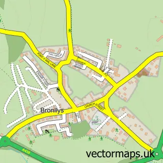
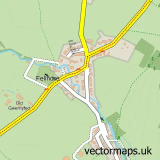
This Talgarth street map is a detailed vector street map covering a 750m x 750m area. Select a larger area to create and download your own vector street map of Talgarth.
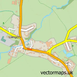
The 750-metre map sample for Talgarth covers 324 mapped buildings and approximately 82.1 km of road detail, of which 27 named roads are named. The immediate area includes 1 school, 1 GP surgery, 1 pub and 1 MOT station. The wider area around Talgarth features 1 tourism point of interest, 5 food and drink venues and 5 hotels. To create a larger or custom map of Talgarth, the map builder lets you define your own coverage area and download editable SVG, PDF and PNG files.
Create a larger editable map of Talgarth
Choose any area you need and generate a high-quality vector map instantly. Perfect for print, planning, design, business and personal use.

This Talgarth street map in Powys is available as downloadable SVG, PDF and PNG map files, or as a printed map for planning, business, display, education, local information and design work. You can also create a larger custom map area using the map selector.
What this Talgarth map sample shows
Talgarth lies within Talgarth Community parish, part of Talgarth ward in the Powys - Powys local authority area. The postcode geography for this area includes the LD postcode area, the LD3 postcode district and the LD3 0 postcode sector. Residents fall under the Powys Teaching Health Board for NHS services.
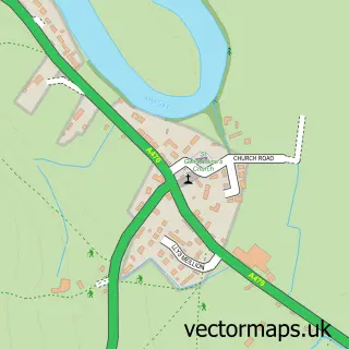
Local features near Talgarth
Within 2 milesAmenities and services in and around Talgarth.
Administrative and postcode information for Talgarth
Talgarth lies within Talgarth Community parish, part of Talgarth ward in the Powys - Powys local authority area. The postcode geography for this area includes the LD postcode area, the LD3 postcode district and the LD3 0 postcode sector. Residents fall under the Powys Teaching Health Board for NHS services.
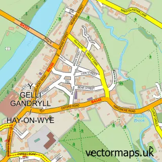
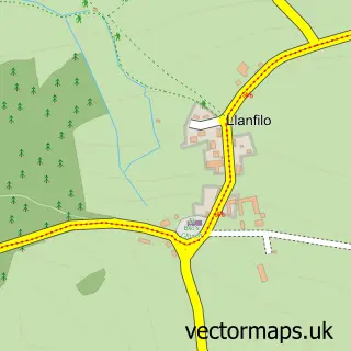
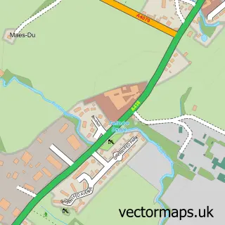
Nearby street map samples around Talgarth

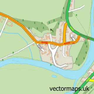
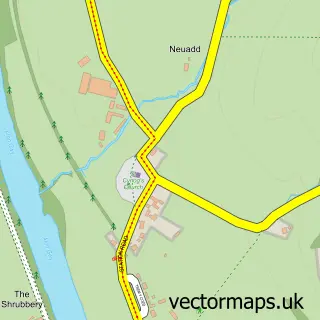
More street maps in Powys
750 metre map area coverage
Boundary, postcode and point of interest information for the 750m x 750m rectangle centred on this sample map.
Boundaries containing map centre
Constituency: Brecon, Radnor and Cwm Tawe Co Const
District: Powys - Powys
Icb: Powys Teaching
Parish: Talgarth Community
Police Force: dyfed-powys
Postcode District: LD3
Postcode Sector: LD3 0
Nearby boundaries intersecting sample
No additional intersecting boundaries found.
Postcode coverage
POI category counts
Hotel: 5
Cafe: 4
Elementary School: 2
Post Office: 2
Printing Services: 2
Professional Services: 2
Retail: 2
Sports Club And League: 2
Agricultural Service: 1
American Restaurant: 1
Sample points of interest
- Black Mountains Farm Services
- Hills
- Orion Motors
- Pobl Bakery
- NatWest
- Old Radnor Barn Bed Breakfast
- Talgarth Building Supplies
- W J George Butchers
- Chatterbox Cafe, Talgarth Livestock Market
- Strand Cafe
- The Bakers' Table
- The Strand Bookshop and Cafe
Create a larger editable map of Talgarth
This sample shows only a 750 metre area. To create a larger map of Talgarth, use our map builder to choose your own coverage area, add titles and download editable SVG, PDF and PNG files.
Create a custom map of Talgarth