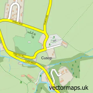
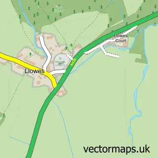
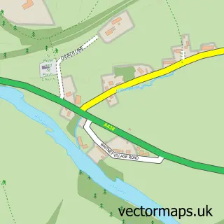
This Hay on Wye street map is a detailed vector street map covering a 750m x 750m area. Select a larger area to create and download your own vector street map of Hay on Wye.
The 750-metre map sample for Hay on Wye covers 282 mapped buildings and approximately 36.4 km of road detail, of which 31 named roads are named. The immediate area includes 1 school, 6 pubs and 1 MOT station, with 2 within 2 miles. The wider area around Hay on Wye features 6 tourism points of interest, 18 food and drink venues and 6 hotels. To create a larger or custom map of Hay on Wye, the map builder lets you define your own coverage area and download editable SVG, PDF and PNG files.
Create a larger editable map of Hay on Wye
Choose any area you need and generate a high-quality vector map instantly. Perfect for print, planning, design, business and personal use.

This Hay on Wye street map in Powys is available as downloadable SVG, PDF and PNG map files, or as a printed map for planning, business, display, education, local information and design work. You can also create a larger custom map area using the map selector.
What this Hay on Wye map sample shows
Hay on Wye lies within Hay Community parish, part of Hay ward in the Powys - Powys local authority area. The postcode geography for this area includes the HR postcode area, the HR3 postcode district and the HR3 5 postcode sector. Residents fall under the Powys Teaching Health Board for NHS services.
Local features near Hay on Wye
Within 2 milesAmenities and services in and around Hay on Wye.
Administrative and postcode information for Hay on Wye
Hay on Wye lies within Hay Community parish, part of Hay ward in the Powys - Powys local authority area. The postcode geography for this area includes the HR postcode area, the HR3 postcode district and the HR3 5 postcode sector. Residents fall under the Powys Teaching Health Board for NHS services.
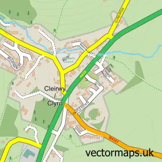
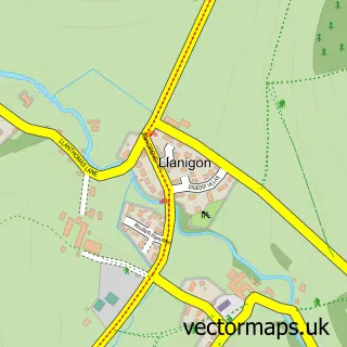
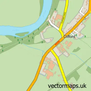
Nearby street map samples around Hay on Wye

More street maps in Powys
750 metre map area coverage
Boundary, postcode and point of interest information for the 750m x 750m rectangle centred on this sample map.
Boundaries containing map centre
Constituency: Brecon, Radnor and Cwm Tawe Co Const
District: Powys - Powys
Icb: Powys Teaching
Parish: Hay Community
Police Force: dyfed-powys
Postcode District: HR3
Postcode Sector: HR3 5
Nearby boundaries intersecting sample
Constituency: Hereford and South Herefordshire Co Const
District: County of Herefordshire
Icb: NHS Herefordshire and Worcestershire ICB
Parish: Clyro Community, Cusop CP
Police Force: west mercia
Ward: Golden Valley North Ward
Postcode coverage
POI category counts
Bookstore: 24
Art Gallery: 8
Bed And Breakfast: 8
Cafe: 7
Flowers And Gifts Shop: 7
Pub: 6
Real Estate Agent: 6
Clothing Store: 5
Convenience Store: 5
Hotel: 5
Sample points of interest
- David M Jones and Partners
- Grovely Business Solutions
- Hay Acupuncture Clinic
- The Hay Clinic
- BWA Design LLP
- Brian Platt
- Herbfarmacy Shop
- PJS Health
- Institute of Art & Ideas - the Globe at Hay
- Fleur de Lys Antiques & Collectables
- Hay Antique Market
- Hay Antique Market
Create a larger editable map of Hay on Wye
This sample shows only a 750 metre area. To create a larger map of Hay on Wye, use our map builder to choose your own coverage area, add titles and download editable SVG, PDF and PNG files.
Create a custom map of Hay on Wye