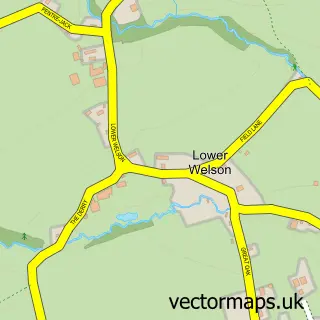
This Whitney street map is a detailed vector street map covering a 750m x 750m area. Select a larger area to create and download your own vector street map of Whitney.
The 750-metre map sample for Whitney covers 38 mapped buildings and approximately 16.0 km of road detail, of which 2 named roads are named. The immediate area includes 1 pub. The wider area around Whitney features 2 food and drink venues and 1 campsite within 2 miles. To create a larger or custom map of Whitney, the map builder lets you define your own coverage area and download editable SVG, PDF and PNG files.
Create a larger editable map of Whitney
Choose any area you need and generate a high-quality vector map instantly. Perfect for print, planning, design, business and personal use.

This Whitney street map in Herefordshire is available as downloadable SVG, PDF and PNG map files, or as a printed map for planning, business, display, education, local information and design work. You can also create a larger custom map area using the map selector.
What this Whitney map sample shows
Whitney lies within Whitney-On-Wye Cp parish, part of Castle ward in the County Of Herefordshire local authority area. The postcode geography for this area includes the HR postcode area, the HR3 postcode district and the HR3 6 postcode sector. Residents fall under the Nhs Herefordshire And Worcestershire Integrated Care Board for NHS services.
Local features near Whitney
Within 2 milesAmenities and services in and around Whitney.
Administrative and postcode information for Whitney
Whitney lies within Whitney-On-Wye Cp parish, part of Castle ward in the County Of Herefordshire local authority area. The postcode geography for this area includes the HR postcode area, the HR3 postcode district and the HR3 6 postcode sector. Residents fall under the Nhs Herefordshire And Worcestershire Integrated Care Board for NHS services.
Nearby street map samples around Whitney

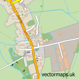
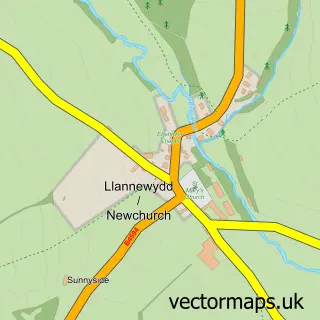
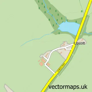
More street maps in Herefordshire
750 metre map area coverage
Boundary, postcode and point of interest information for the 750m x 750m rectangle centred on this sample map.
Boundaries containing map centre
Constituency: North Herefordshire Co Const
District: County of Herefordshire
Icb: NHS Herefordshire and Worcestershire ICB
Parish: Whitney-on-Wye CP
Police Force: west mercia
Postcode District: HR3
Postcode Sector: HR3 6
Ward: Castle Ward
Nearby boundaries intersecting sample
Constituency: Hereford and South Herefordshire Co Const
Parish: Clifford CP
Postcode Sector: HR3 5
Ward: Golden Valley North Ward
Postcode coverage
POI category counts
Bed And Breakfast: 2
Gas Station: 2
Anglican Church: 1
Automotive Services And Repair: 1
Bridal Shop: 1
Cafe: 1
Caterer: 1
Computer Coaching: 1
Convenience Store: 1
Furniture Store: 1
Sample points of interest
- Whitney: St Peter & St Paul
- InstaVolt Charging Station
- The Agents House Bed and Breakfast
- The Pound Bed and Breakfast plus Campsite with private landing and launching available to patrons of the bandb and campsite
- The Whitney Court Estate
- Carrot and Wine Stores
- Rococo Catering Ltd.
- Business Angel Ltd
- SPAR
- Whitney Sawmills
- ESSO Station
- ESSO WHITNEY GARAGE
Create a larger editable map of Whitney
This sample shows only a 750 metre area. To create a larger map of Whitney, use our map builder to choose your own coverage area, add titles and download editable SVG, PDF and PNG files.
Create a custom map of Whitney