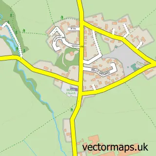
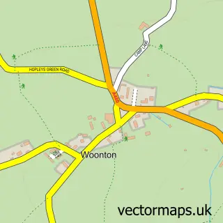
This Eardisley street map is a detailed vector street map covering a 750m x 750m area. Select a larger area to create and download your own vector street map of Eardisley.
The 750-metre map sample for Eardisley covers 161 mapped buildings and approximately 19.5 km of road detail, of which 9 named roads are named. The immediate area includes 1 school, 3 pubs and 1 MOT station. The wider area around Eardisley features 1 tourism point of interest and 3 food and drink venues. To create a larger or custom map of Eardisley, the map builder lets you define your own coverage area and download editable SVG, PDF and PNG files.
Create a larger editable map of Eardisley
Choose any area you need and generate a high-quality vector map instantly. Perfect for print, planning, design, business and personal use.

This Eardisley street map in Herefordshire is available as downloadable SVG, PDF and PNG map files, or as a printed map for planning, business, display, education, local information and design work. You can also create a larger custom map area using the map selector.
What this Eardisley map sample shows
Eardisley lies within Eardisley Cp parish, part of Castle ward in the County Of Herefordshire local authority area. The postcode geography for this area includes the HR postcode area, the HR3 postcode district and the HR3 6 postcode sector. Residents fall under the Nhs Herefordshire And Worcestershire Integrated Care Board for NHS services.
Local features near Eardisley
Within 2 milesAmenities and services in and around Eardisley.
Administrative and postcode information for Eardisley
Eardisley lies within Eardisley Cp parish, part of Castle ward in the County Of Herefordshire local authority area. The postcode geography for this area includes the HR postcode area, the HR3 postcode district and the HR3 6 postcode sector. Residents fall under the Nhs Herefordshire And Worcestershire Integrated Care Board for NHS services.
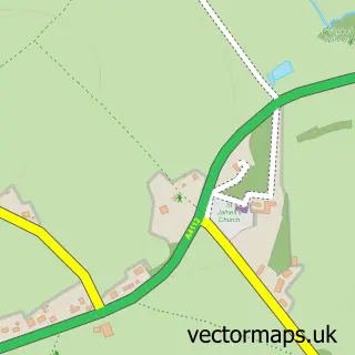
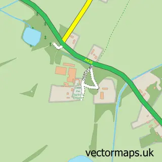
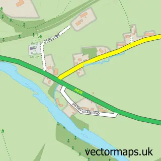
Nearby street map samples around Eardisley

More street maps in Herefordshire
750 metre map area coverage
Boundary, postcode and point of interest information for the 750m x 750m rectangle centred on this sample map.
Boundaries containing map centre
Constituency: North Herefordshire Co Const
District: County of Herefordshire
Icb: NHS Herefordshire and Worcestershire ICB
Parish: Eardisley CP
Police Force: west mercia
Postcode District: HR3
Postcode Sector: HR3 6
Ward: Castle Ward
Nearby boundaries intersecting sample
No additional intersecting boundaries found.
Postcode coverage
POI category counts
Pub: 3
Automotive Repair: 2
Chimney Sweep: 2
Church Cathedral: 2
Machine And Tool Rentals: 2
Accommodation: 1
Agricultural Service: 1
Anglican Church: 1
Auto Body Shop: 1
Beauty Salon: 1
Sample points of interest
- Bank House
- Mervyn Thomas Ltd
- Eardisley: St Mary Magdalene
- Auto Finish
- Tech Trucks Garage & Recovery
- Tech Trucks Garage & Recovery
- L J Aesthetics
- Arboyne House
- Post Office-Eardisley
- JDW Joinery
- Eardisley Castle
- Dave Valentine Chimney Sweeping
Create a larger editable map of Eardisley
This sample shows only a 750 metre area. To create a larger map of Eardisley, use our map builder to choose your own coverage area, add titles and download editable SVG, PDF and PNG files.
Create a custom map of Eardisley