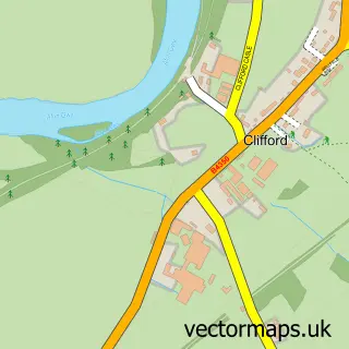
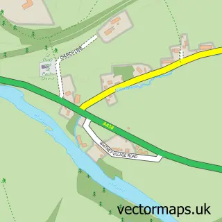
This Clyro street map is a detailed vector street map covering a 750m x 750m area. Select a larger area to create and download your own vector street map of Clyro.
The 750-metre map sample for Clyro covers 172 mapped buildings and approximately 38.4 km of road detail, of which 7 named roads are named. The immediate area includes 1 MOT station within 2 miles. The wider area around Clyro features 1 food and drink venue, 3 hotels and 3 campsites within 2 miles. To create a larger or custom map of Clyro, the map builder lets you define your own coverage area and download editable SVG, PDF and PNG files.
Create a larger editable map of Clyro
Choose any area you need and generate a high-quality vector map instantly. Perfect for print, planning, design, business and personal use.

This Clyro street map in Powys is available as downloadable SVG, PDF and PNG map files, or as a printed map for planning, business, display, education, local information and design work. You can also create a larger custom map area using the map selector.
What this Clyro map sample shows
Clyro lies within Clyro Community parish, part of Glasbury ward in the Powys - Powys local authority area. The postcode geography for this area includes the HR postcode area, the HR3 postcode district and the HR3 5 postcode sector. Residents fall under the Powys Teaching Health Board for NHS services.
Local features near Clyro
Within 2 milesAmenities and services in and around Clyro.
Administrative and postcode information for Clyro
Clyro lies within Clyro Community parish, part of Glasbury ward in the Powys - Powys local authority area. The postcode geography for this area includes the HR postcode area, the HR3 postcode district and the HR3 5 postcode sector. Residents fall under the Powys Teaching Health Board for NHS services.
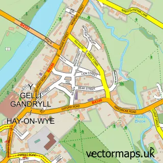
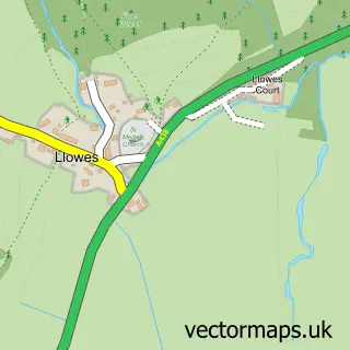
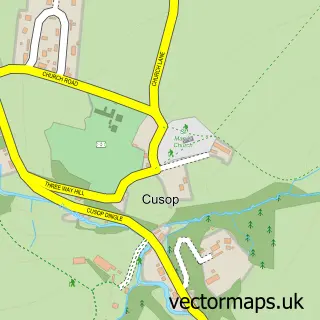
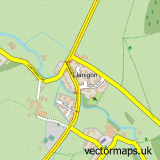
Nearby street map samples around Clyro

More street maps in Powys
750 metre map area coverage
Boundary, postcode and point of interest information for the 750m x 750m rectangle centred on this sample map.
Boundaries containing map centre
Constituency: Brecon, Radnor and Cwm Tawe Co Const
District: Powys - Powys
Icb: Powys Teaching
Parish: Clyro Community
Police Force: dyfed-powys
Postcode District: HR3
Postcode Sector: HR3 5
Nearby boundaries intersecting sample
No additional intersecting boundaries found.
Postcode coverage
POI category counts
Gas Station: 3
Hotel: 3
Pet Sitting: 2
Post Office: 2
Accommodation: 1
Automotive Repair: 1
Bed And Breakfast: 1
Charity Organization: 1
Gardener: 1
Guest House: 1
Sample points of interest
- Cwmhir Court Barns
- Ashbrook Garage
- Pottery Cottage Clyro
- Lions Club of Black Mountains
- Greenfingers Landscape
- REGENT HOUSE FSTN
- Regent House Filling Station
- TEXACO Station
- Baskerville House
- Baskerville House
- Clyro Court
- Little Pentwyn
Create a larger editable map of Clyro
This sample shows only a 750 metre area. To create a larger map of Clyro, use our map builder to choose your own coverage area, add titles and download editable SVG, PDF and PNG files.
Create a custom map of Clyro