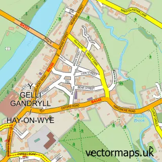
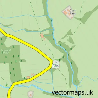
This Cusop street map is a detailed vector street map covering a 750m x 750m area. Select a larger area to create and download your own vector street map of Cusop.
The 750-metre map sample for Cusop covers 79 mapped buildings and approximately 20.4 km of road detail, of which 4 named roads are named. The immediate area includes 2 MOT stations within 2 miles. The wider area around Cusop features 1 hotel and 1 campsite within 2 miles. To create a larger or custom map of Cusop, the map builder lets you define your own coverage area and download editable SVG, PDF and PNG files.
Create a larger editable map of Cusop
Choose any area you need and generate a high-quality vector map instantly. Perfect for print, planning, design, business and personal use.

This Cusop street map in Herefordshire is available as downloadable SVG, PDF and PNG map files, or as a printed map for planning, business, display, education, local information and design work. You can also create a larger custom map area using the map selector.
What this Cusop map sample shows
Cusop lies within Cusop Cp parish, part of Golden Valley North ward in the County Of Herefordshire local authority area. The postcode geography for this area includes the HR postcode area, the HR3 postcode district and the HR3 5 postcode sector. Residents fall under the Powys Teaching Health Board for NHS services.
Local features near Cusop
Within 2 milesAmenities and services in and around Cusop.
Administrative and postcode information for Cusop
The local authority covering Cusop is County Of Herefordshire, within the county of Herefordshire. The settlement lies within Golden Valley North ward and Cusop Cp civil parish. The HR3 postcode district and HR3 5 postcode sector serve the immediate area. NHS provision in the area is delivered through Wye Valley Nhs Trust.
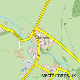
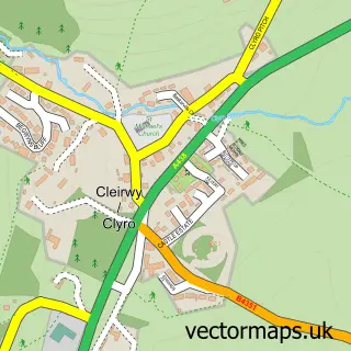
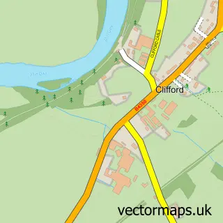
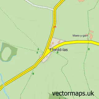
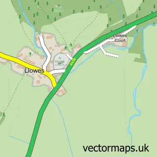
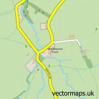
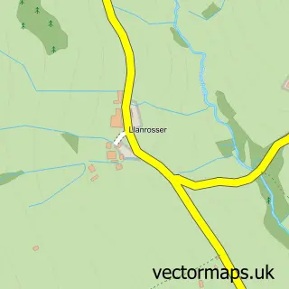
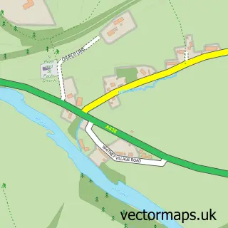
Nearby street map samples around Cusop

More street maps in Herefordshire
750 metre map area coverage
Boundary, postcode and point of interest information for the 750m x 750m rectangle centred on this sample map.
Boundaries containing map centre
Constituency: Hereford and South Herefordshire Co Const
District: County of Herefordshire
Icb: NHS Herefordshire and Worcestershire ICB
Parish: Cusop CP
Police Force: west mercia
Postcode District: HR3
Postcode Sector: HR3 5
Ward: Golden Valley North Ward
Nearby boundaries intersecting sample
Constituency: Brecon, Radnor and Cwm Tawe Co Const
District: Powys - Powys
Icb: Powys Teaching
Parish: Llanigon Community
Police Force: dyfed-powys
Postcode coverage
POI category counts
Anglican Church: 1
Bed And Breakfast: 1
Community Services Non Profits: 1
Cottage: 1
Education: 1
Engineering Services: 1
Hotel: 1
Kids Recreation And Party: 1
Sample points of interest
- Cusop: St Mary
- Elmsleigh Bed and Breakfast
- Greenfields Farm
- Cusop Mill Cottage
- Trewern Outdoor Centre
- P Ferguson
- Lower House Garden & Plas Bach Self-Catering
- Trewern Outdoor Centre
Create a larger editable map of Cusop
This sample shows only a 750 metre area. To create a larger map of Cusop, use our map builder to choose your own coverage area, add titles and download editable SVG, PDF and PNG files.
Create a custom map of Cusop