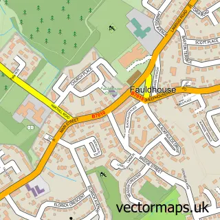
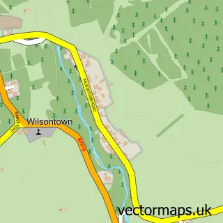
This Tarbrax street map is a detailed vector street map covering a 750m x 750m area. Select a larger area to create and download your own vector street map of Tarbrax.
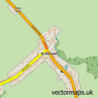
The 750-metre map sample for Tarbrax covers 67 mapped buildings and approximately 4.5 km of road detail, of which 3 named roads are named. To create a larger or custom map of Tarbrax, the map builder lets you define your own coverage area and download editable SVG, PDF and PNG files.
Create a larger editable map of Tarbrax
Choose any area you need and generate a high-quality vector map instantly. Perfect for print, planning, design, business and personal use.

This Tarbrax street map in Lanarkshire is available as downloadable SVG, PDF and PNG map files, or as a printed map for planning, business, display, education, local information and design work. You can also create a larger custom map area using the map selector.
What this Tarbrax map sample shows
Tarbrax lies within South Lanarkshire parish, part of Clydesdale North ward in the South Lanarkshire local authority area. The postcode geography for this area includes the EH postcode area, the EH55 postcode district and the EH55 8 postcode sector. Residents fall under the Lanarkshire for NHS services.
Administrative and postcode information for Tarbrax
Tarbrax lies within South Lanarkshire parish, part of Clydesdale North ward in the South Lanarkshire local authority area. The postcode geography for this area includes the EH postcode area, the EH55 postcode district and the EH55 8 postcode sector. Residents fall under the Lanarkshire for NHS services.
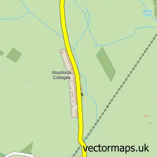
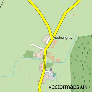
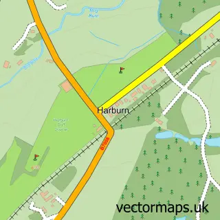
Nearby street map samples around Tarbrax

More street maps in Lanarkshire
750 metre map area coverage
Boundary, postcode and point of interest information for the 750m x 750m rectangle centred on this sample map.
Boundaries containing map centre
Constituency: Motherwell, Wishaw and Carluke Co Const
District: South Lanarkshire
Icb: Lanarkshire
Postcode District: EH55
Postcode Sector: EH55 8
Ward: Clydesdale North Ward
Nearby boundaries intersecting sample
No additional intersecting boundaries found.
Postcode coverage
POI category counts
Automotive: 1
Beverage Store: 1
Community Center: 1
Driving School: 1
Farm: 1
Freight And Cargo Service: 1
Pet Store: 1
Professional Services: 1
Sample points of interest
- Trailer Training Scotland
- M J Hamilton Farmers
- Tarbrax Village Hall
- Bananas Driver Training
- S R Cattle Services
- Andrea Wood Transport
- Canine Solutions
- Wat If
Create a larger editable map of Tarbrax
This sample shows only a 750 metre area. To create a larger map of Tarbrax, use our map builder to choose your own coverage area, add titles and download editable SVG, PDF and PNG files.
Create a custom map of Tarbrax