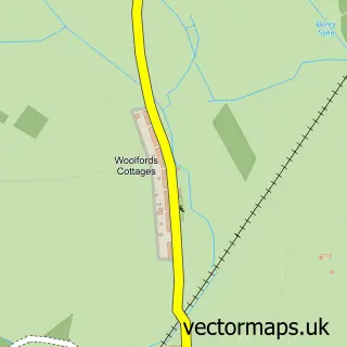
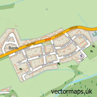
This Harburn street map is a detailed vector street map covering a 750m x 750m area. Select a larger area to create and download your own vector street map of Harburn.
The 750-metre map sample for Harburn covers 37 mapped buildings and approximately 5.3 km of road detail. The immediate area includes 1 GP surgery within 2 miles and 4 MOT stations within 2 miles. The wider area around Harburn features 1 tourism point of interest. To create a larger or custom map of Harburn, the map builder lets you define your own coverage area and download editable SVG, PDF and PNG files.
Create a larger editable map of Harburn
Choose any area you need and generate a high-quality vector map instantly. Perfect for print, planning, design, business and personal use.

This Harburn street map in West Lothian is available as downloadable SVG, PDF and PNG map files, or as a printed map for planning, business, display, education, local information and design work. You can also create a larger custom map area using the map selector.
What this Harburn map sample shows
Harburn lies within West Lothian parish, part of Fauldhouse And The Breich Valley ward in the West Lothian local authority area. The postcode geography for this area includes the EH postcode area, the EH55 postcode district and the EH55 8 postcode sector. Residents fall under the Lothian for NHS services.
Local features near Harburn
Within 2 milesAmenities and services in and around Harburn.
Administrative and postcode information for Harburn
The local authority covering Harburn is West Lothian, within the county of West Lothian. The settlement lies within Fauldhouse And The Breich Valley ward and West Lothian civil parish. The EH55 postcode district and EH55 8 postcode sector serve the immediate area. NHS provision in the area is delivered through Lothian.
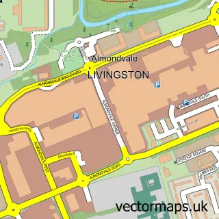
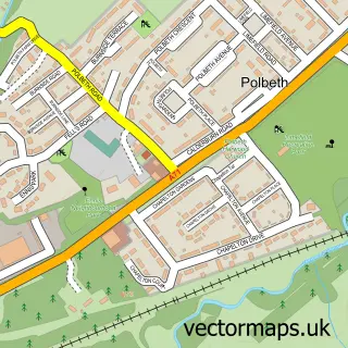
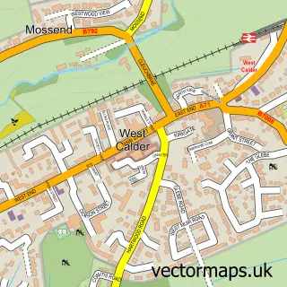
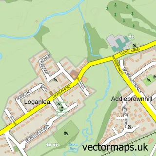
Nearby street map samples around Harburn

More street maps in West Lothian
750 metre map area coverage
Boundary, postcode and point of interest information for the 750m x 750m rectangle centred on this sample map.
Boundaries containing map centre
Constituency: Livingston Co Const
District: West Lothian
Icb: Lothian
Postcode District: EH55
Postcode Sector: EH55 8
Ward: Fauldhouse and the Breich Valley Ward
Nearby boundaries intersecting sample
Ward: East Livingston and East Calder Ward
Postcode coverage
POI category counts
Community Services Non Profits: 1
Electrician: 1
Golf Course: 1
Horse Trainer: 1
Park: 1
Personal Care Service: 1
Sample points of interest
- Harburn Rural SWI
- Dobson Electrical
- Harburn Golf Club
- Dovetshill Farm Livery Stables
- Holyrood Park Edinburgh
- Nu-Cairn Ltd.
Create a larger editable map of Harburn
This sample shows only a 750 metre area. To create a larger map of Harburn, use our map builder to choose your own coverage area, add titles and download editable SVG, PDF and PNG files.
Create a custom map of Harburn