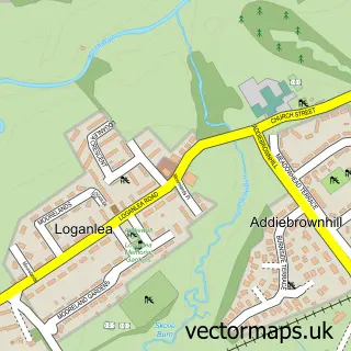
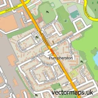
This Polbeth street map is a detailed vector street map covering a 750m x 750m area. Select a larger area to create and download your own vector street map of Polbeth.
The 750-metre map sample for Polbeth covers 303 mapped buildings and approximately 15.5 km of road detail, of which 24 named roads are named. The immediate area includes 2 GP surgeries within 2 miles, 1 pub and 1 MOT station, with 6 within 2 miles. The wider area around Polbeth features 2 tourism points of interest and 5 food and drink venues. To create a larger or custom map of Polbeth, the map builder lets you define your own coverage area and download editable SVG, PDF and PNG files.
Create a larger editable map of Polbeth
Choose any area you need and generate a high-quality vector map instantly. Perfect for print, planning, design, business and personal use.

This Polbeth street map in West Lothian is available as downloadable SVG, PDF and PNG map files, or as a printed map for planning, business, display, education, local information and design work. You can also create a larger custom map area using the map selector.
What this Polbeth map sample shows
Polbeth lies within West Lothian parish, part of Fauldhouse And The Breich Valley ward in the West Lothian local authority area. The postcode geography for this area includes the EH postcode area, the EH55 postcode district and the EH55 8 postcode sector. Residents fall under the Lothian for NHS services.
Local features near Polbeth
Within 2 milesAmenities and services in and around Polbeth.
Administrative and postcode information for Polbeth
Polbeth lies within West Lothian parish, part of Fauldhouse And The Breich Valley ward in the West Lothian local authority area. The postcode geography for this area includes the EH postcode area, the EH55 postcode district and the EH55 8 postcode sector. Residents fall under the Lothian for NHS services.
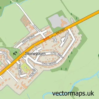
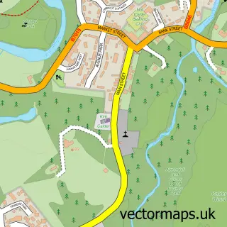
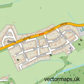
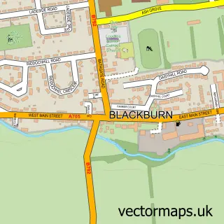
Nearby street map samples around Polbeth
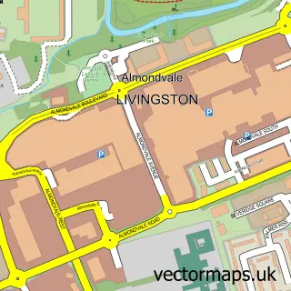

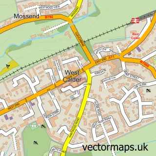
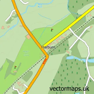
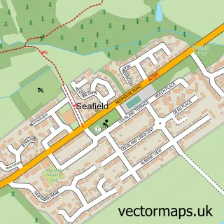
More street maps in West Lothian
750 metre map area coverage
Boundary, postcode and point of interest information for the 750m x 750m rectangle centred on this sample map.
Boundaries containing map centre
Constituency: Livingston Co Const
District: West Lothian
Icb: Lothian
Postcode District: EH55
Postcode Sector: EH55 8
Ward: Fauldhouse and the Breich Valley Ward
Nearby boundaries intersecting sample
No additional intersecting boundaries found.
Postcode coverage
POI category counts
Convenience Store: 3
Elementary School: 3
Atms: 2
Cafe: 2
Coffee Shop: 2
Fashion Accessories Store: 2
Gas Station: 2
Hair Salon: 2
Package Locker: 2
Park: 2
Sample points of interest
- Polbeth Mini Market (Mirren) (ATMaaS)
- Polbeth Services
- SC Smart Repair
- Aqua Tech Hand Car Wash
- CM Gates & Barriers
- M O T Centre (Scotland) Ltd.
- Time 4 You
- Herbalife
- Corry's Corner
- Marmaris Polbeth
- Polbeth Harwood Parish Church
- Polbeth Harwood Church
Create a larger editable map of Polbeth
This sample shows only a 750 metre area. To create a larger map of Polbeth, use our map builder to choose your own coverage area, add titles and download editable SVG, PDF and PNG files.
Create a custom map of Polbeth