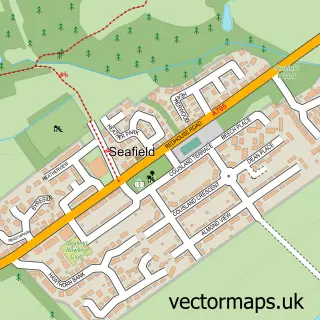
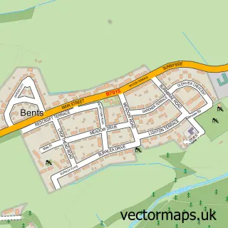
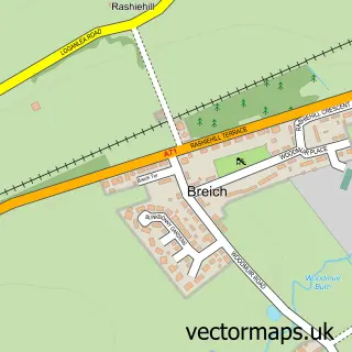
This Blackburn street map is a detailed vector street map covering a 750m x 750m area. Select a larger area to create and download your own vector street map of Blackburn.
The 750-metre map sample for Blackburn covers 292 mapped buildings and approximately 10.6 km of road detail, of which 19 named roads are named. The immediate area includes 1 GP surgery and 9 MOT stations within 2 miles. The wider area around Blackburn features 2 food and drink venues and 1 hotel. To create a larger or custom map of Blackburn, the map builder lets you define your own coverage area and download editable SVG, PDF and PNG files.
Create a larger editable map of Blackburn
Choose any area you need and generate a high-quality vector map instantly. Perfect for print, planning, design, business and personal use.

This Blackburn street map in West Lothian is available as downloadable SVG, PDF and PNG map files, or as a printed map for planning, business, display, education, local information and design work. You can also create a larger custom map area using the map selector.
What this Blackburn map sample shows
Blackburn lies within West Lothian parish, part of Whitburn And Blackburn ward in the West Lothian local authority area. The postcode geography for this area includes the EH postcode area, the EH47 postcode district and the EH47 7 postcode sector. Residents fall under the Lothian for NHS services.
Local features near Blackburn
Within 2 milesAmenities and services in and around Blackburn.
Administrative and postcode information for Blackburn
Blackburn lies within West Lothian parish, part of Whitburn And Blackburn ward in the West Lothian local authority area. The postcode geography for this area includes the EH postcode area, the EH47 postcode district and the EH47 7 postcode sector. Residents fall under the Lothian for NHS services.
Nearby street map samples around Blackburn

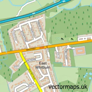
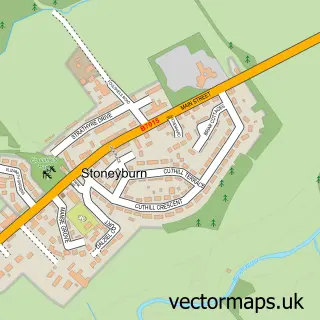
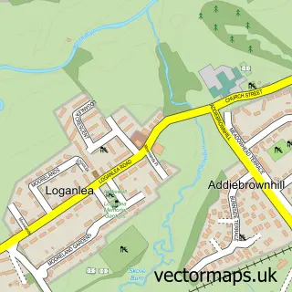
More street maps in West Lothian
750 metre map area coverage
Boundary, postcode and point of interest information for the 750m x 750m rectangle centred on this sample map.
Boundaries containing map centre
Constituency: Bathgate and Linlithgow Co Const
District: West Lothian
Icb: Lothian
Postcode District: EH47
Postcode Sector: EH47 7
Ward: Whitburn and Blackburn Ward
Nearby boundaries intersecting sample
No additional intersecting boundaries found.
Postcode coverage
POI category counts
Doctor: 3
Building Supply Store: 2
Chinese Restaurant: 2
Contractor: 2
Pharmacy: 2
Recycling Center: 2
Shopping Center: 2
Sports Club And League: 2
Automotive Repair: 1
Barber: 1
Sample points of interest
- The Mill Garage
- Ferdi's Turkish Barbers
- Hair at Jeans
- Glo Tanning
- Ladbrokes
- Kelbar
- Neil Rennie Painters & Decorator
- Kim'z Cafe
- Sweet boutique
- Pro Hand Car Wash and Valeting
- Ladbrokes
- Our Lady of Lourdes Roman Catholic Church
Create a larger editable map of Blackburn
This sample shows only a 750 metre area. To create a larger map of Blackburn, use our map builder to choose your own coverage area, add titles and download editable SVG, PDF and PNG files.
Create a custom map of Blackburn