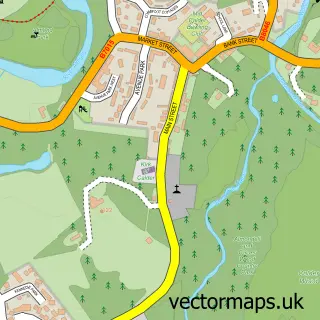
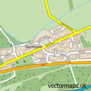
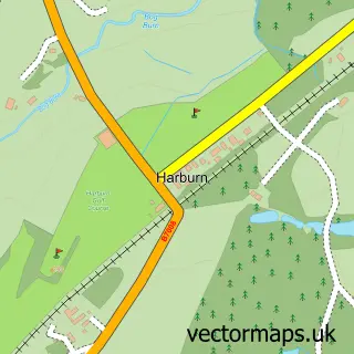
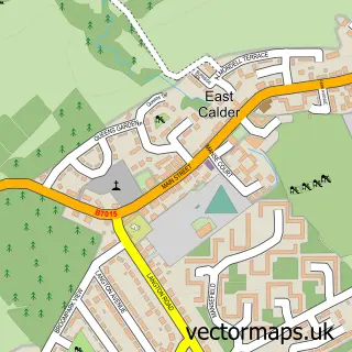
This Livingston street map is a detailed vector street map covering a 750m x 750m area. Select a larger area to create and download your own vector street map of Livingston.
The 750-metre map sample for Livingston covers 60 mapped buildings and approximately 13.4 km of road detail, of which 16 named roads are named. The immediate area includes 6 GP surgeries within 2 miles, 2 pubs and 11 MOT stations within 2 miles. The wider area around Livingston features 3 tourism points of interest, 23 food and drink venues and 3 hotels. To create a larger or custom map of Livingston, the map builder lets you define your own coverage area and download editable SVG, PDF and PNG files.
Create a larger editable map of Livingston
Choose any area you need and generate a high-quality vector map instantly. Perfect for print, planning, design, business and personal use.

This Livingston street map in West Lothian is available as downloadable SVG, PDF and PNG map files, or as a printed map for planning, business, display, education, local information and design work. You can also create a larger custom map area using the map selector.
What this Livingston map sample shows
Livingston lies within West Lothian parish, part of Livingston South ward in the West Lothian local authority area. The postcode geography for this area includes the EH postcode area, the EH54 postcode district and the EH54 6 postcode sector. Residents fall under the Lothian for NHS services.
Local features near Livingston
Within 2 milesAmenities and services in and around Livingston.
Administrative and postcode information for Livingston
The local authority covering Livingston is West Lothian, within the county of West Lothian. The settlement lies within Livingston South ward and West Lothian civil parish. The EH54 postcode district and EH54 6 postcode sector serve the immediate area. NHS provision in the area is delivered through Lothian.
Nearby street map samples around Livingston

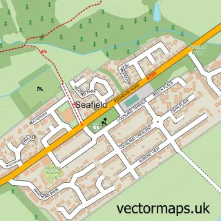
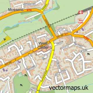
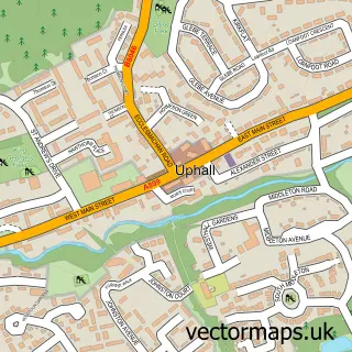
More street maps in West Lothian
750 metre map area coverage
Boundary, postcode and point of interest information for the 750m x 750m rectangle centred on this sample map.
Boundaries containing map centre
Constituency: Livingston Co Const
District: West Lothian
Icb: Lothian
Postcode District: EH54
Postcode Sector: EH54 6
Ward: Livingston South Ward
Nearby boundaries intersecting sample
Postcode Sector: EH54 7
Postcode coverage
POI category counts
Clothing Store: 45
Shoe Store: 20
Jewelry Store: 18
Coffee Shop: 13
Childrens Clothing Store: 11
Fast Food Restaurant: 11
Furniture Store: 10
Cosmetic And Beauty Supplies: 9
Retail: 8
Shopping Center: 7
Sample points of interest
- Aberdein Considine
- Crazy Golf
- Chicago Rock Cafe
- 243 Provost Company Military Police
- Hobbycraft Livingston
- Smiggle
- Chopstix
- Livingston Designer Outlet Centre - ATM 2, Almondvale Avenue
- Wintergarden
- Halfords
- Mamas & Papas
- Mothercare
Create a larger editable map of Livingston
This sample shows only a 750 metre area. To create a larger map of Livingston, use our map builder to choose your own coverage area, add titles and download editable SVG, PDF and PNG files.
Create a custom map of Livingston