This Temple Guiting street map is a detailed vector street map covering a 750m x 750m area. Select a larger area to create and download your own vector street map of Temple Guiting.
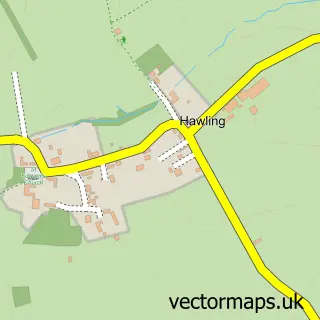
The 750-metre map sample for Temple Guiting covers 89 mapped buildings and approximately 17.0 km of road detail, of which 1 named road are named. The immediate area includes 1 school. The wider area around Temple Guiting features 1 campsite within 2 miles. To create a larger or custom map of Temple Guiting, the map builder lets you define your own coverage area and download editable SVG, PDF and PNG files.
Create a larger editable map of Temple Guiting
Choose any area you need and generate a high-quality vector map instantly. Perfect for print, planning, design, business and personal use.

This Temple Guiting street map in Gloucestershire is available as downloadable SVG, PDF and PNG map files, or as a printed map for planning, business, display, education, local information and design work. You can also create a larger custom map area using the map selector.
What this Temple Guiting map sample shows
Temple Guiting lies within Temple Guiting Cp parish, part of Bourton Vale ward in the Cotswold District local authority area. The postcode geography for this area includes the GL postcode area, the GL54 postcode district and the GL54 5 postcode sector. Residents fall under the Nhs Gloucestershire Integrated Care Board for NHS services.
Local features near Temple Guiting
Within 2 milesAmenities and services in and around Temple Guiting.
Administrative and postcode information for Temple Guiting
The local authority covering Temple Guiting is Cotswold District, within the county of Gloucestershire. The settlement lies within Bourton Vale ward and Temple Guiting Cp civil parish. The GL54 postcode district and GL54 5 postcode sector serve the immediate area. NHS provision in the area is delivered through Gloucestershire Hospitals Nhs Foundation Trust.
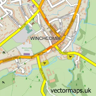
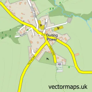
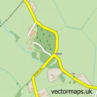
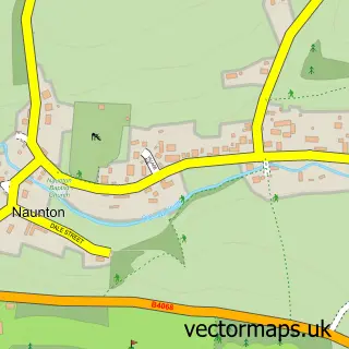
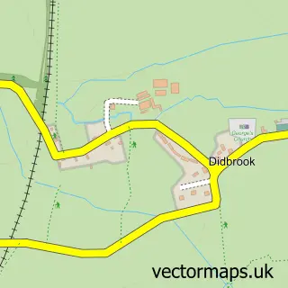
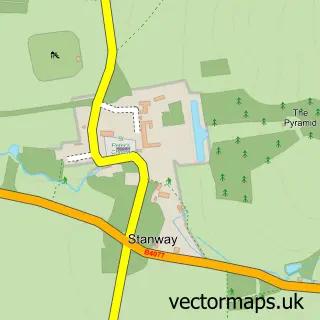
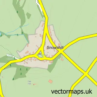
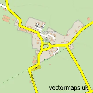
Nearby street map samples around Temple Guiting

More street maps in Gloucestershire
750 metre map area coverage
Boundary, postcode and point of interest information for the 750m x 750m rectangle centred on this sample map.
Boundaries containing map centre
Constituency: North Cotswolds Co Const
County: Gloucestershire County
District: Cotswold District
Icb: NHS Gloucestershire ICB
Parish: Temple Guiting CP
Police Force: gloucestershire
Postcode District: GL54
Postcode Sector: GL54 5
Ward: Bourton Vale Ward
Nearby boundaries intersecting sample
No additional intersecting boundaries found.
Postcode coverage
POI category counts
Agricultural Service: 1
Anglican Church: 1
British Restaurant: 1
Church Cathedral: 1
Driving School: 1
Forestry Service: 1
Furniture Assembly: 1
Landscape Architect: 1
Landscaping: 1
Post Office: 1
Sample points of interest
- J R Arkell and Son
- St Mary, Temple Guiting
- Temple Guiting Pantry
- St Mary's Church
- Brookes School of Motoring
- J R Arkell & Son
- Creampot Furnishings Up Cycled Furniture
- Gilbert Stirling Lee Ltd.
- Gilbert Stirling Lee
- Temple Guiting Post Office
- The Extra Hour
- Temple Guiting School
Create a larger editable map of Temple Guiting
This sample shows only a 750 metre area. To create a larger map of Temple Guiting, use our map builder to choose your own coverage area, add titles and download editable SVG, PDF and PNG files.
Create a custom map of Temple Guiting