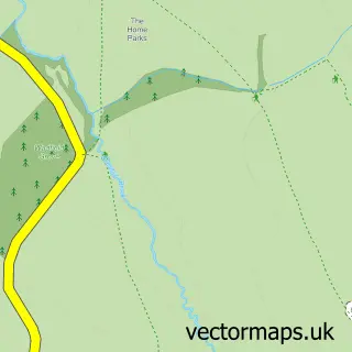
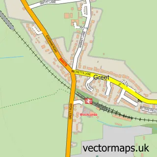
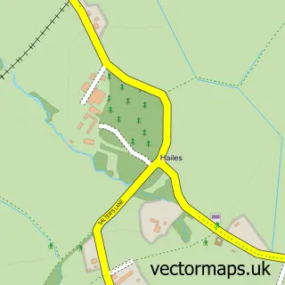
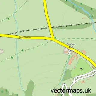
This Winchcombe street map is a detailed vector street map covering a 750m x 750m area. Select a larger area to create and download your own vector street map of Winchcombe.
The 750-metre map sample for Winchcombe covers 282 mapped buildings and approximately 26.8 km of road detail, of which 27 named roads are named. The immediate area includes 1 school, 1 GP surgery within 2 miles, 6 pubs and 1 MOT station within 2 miles. The wider area around Winchcombe features 9 tourism points of interest, 10 food and drink venues and 6 hotels. To create a larger or custom map of Winchcombe, the map builder lets you define your own coverage area and download editable SVG, PDF and PNG files.
Create a larger editable map of Winchcombe
Choose any area you need and generate a high-quality vector map instantly. Perfect for print, planning, design, business and personal use.

This Winchcombe street map in Gloucestershire is available as downloadable SVG, PDF and PNG map files, or as a printed map for planning, business, display, education, local information and design work. You can also create a larger custom map area using the map selector.
What this Winchcombe map sample shows
Winchcombe lies within Winchcombe Cp parish, part of Winchcombe ward in the Tewkesbury District (B) local authority area. The postcode geography for this area includes the GL postcode area, the GL54 postcode district and the GL54 5 postcode sector. Residents fall under the Nhs Gloucestershire Integrated Care Board for NHS services.
Local features near Winchcombe
Within 2 milesAmenities and services in and around Winchcombe.
Administrative and postcode information for Winchcombe
Winchcombe lies within Winchcombe Cp parish, part of Winchcombe ward in the Tewkesbury District (B) local authority area. The postcode geography for this area includes the GL postcode area, the GL54 postcode district and the GL54 5 postcode sector. Residents fall under the Nhs Gloucestershire Integrated Care Board for NHS services.
Nearby street map samples around Winchcombe

More street maps in Gloucestershire
750 metre map area coverage
Boundary, postcode and point of interest information for the 750m x 750m rectangle centred on this sample map.
Boundaries containing map centre
Constituency: Tewkesbury Co Const
County: Gloucestershire County
District: Tewkesbury District (B)
Icb: NHS Gloucestershire ICB
Parish: Winchcombe CP
Police Force: gloucestershire
Postcode District: GL54
Postcode Sector: GL54 5
Ward: Winchcombe Ward
Nearby boundaries intersecting sample
Parish: Sudeley CP
Postcode coverage
POI category counts
Hotel: 6
Pub: 6
Antique Store: 5
Beauty Salon: 5
Arts And Crafts: 3
Butcher Shop: 3
Church Cathedral: 3
Flowers And Gifts Shop: 3
Gift Shop: 3
Interior Design: 3
Sample points of interest
- Zenith Accountancy Solutions Ltd
- Tina Bee Web Design
- Abbey Private Hire
- Winchcombe Paintball
- St Peter's Church, Winchcombe
- Antique Interior Company
- Berkeley Antiques
- Newsum Antiques
- Prichard Antiques
- Winchcombe Antiques Centre
- Mercia Fine Art
- Ace D I Y & Hardware
Create a larger editable map of Winchcombe
This sample shows only a 750 metre area. To create a larger map of Winchcombe, use our map builder to choose your own coverage area, add titles and download editable SVG, PDF and PNG files.
Create a custom map of Winchcombe