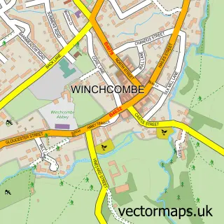
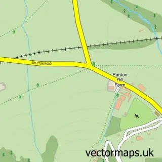
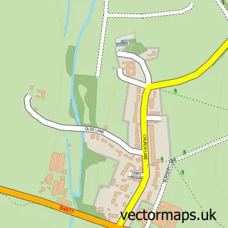
This Gretton street map is a detailed vector street map covering a 750m x 750m area. Select a larger area to create and download your own vector street map of Gretton.
The 750-metre map sample for Gretton covers 193 mapped buildings and approximately 17.5 km of road detail, of which 8 named roads are named. The immediate area includes 1 school, 1 GP surgery within 2 miles and 2 MOT stations within 2 miles. The wider area around Gretton features 1 campsite within 2 miles. To create a larger or custom map of Gretton, the map builder lets you define your own coverage area and download editable SVG, PDF and PNG files.
Create a larger editable map of Gretton
Choose any area you need and generate a high-quality vector map instantly. Perfect for print, planning, design, business and personal use.

This Gretton street map in Gloucestershire is available as downloadable SVG, PDF and PNG map files, or as a printed map for planning, business, display, education, local information and design work. You can also create a larger custom map area using the map selector.
What this Gretton map sample shows
Gretton lies within Gretton Cp parish, part of Winchcombe ward in the Tewkesbury District (B) local authority area. The postcode geography for this area includes the GL postcode area, the GL54 postcode district and the GL54 5 postcode sector. Residents fall under the Nhs Gloucestershire Integrated Care Board for NHS services.
Local features near Gretton
Within 2 milesAmenities and services in and around Gretton.
Administrative and postcode information for Gretton
Gretton lies within Gretton Cp parish, part of Winchcombe ward in the Tewkesbury District (B) local authority area. The postcode geography for this area includes the GL postcode area, the GL54 postcode district and the GL54 5 postcode sector. Residents fall under the Nhs Gloucestershire Integrated Care Board for NHS services.
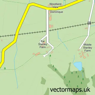
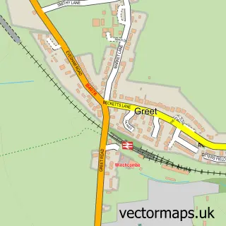
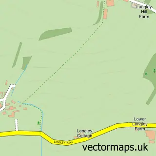
Nearby street map samples around Gretton

More street maps in Gloucestershire
750 metre map area coverage
Boundary, postcode and point of interest information for the 750m x 750m rectangle centred on this sample map.
Boundaries containing map centre
Constituency: Tewkesbury Co Const
County: Gloucestershire County
District: Tewkesbury District (B)
Icb: NHS Gloucestershire ICB
Parish: Gretton CP
Police Force: gloucestershire
Postcode District: GL54
Postcode Sector: GL54 5
Ward: Winchcombe Ward
Nearby boundaries intersecting sample
No additional intersecting boundaries found.
Postcode coverage
POI category counts
Anglican Church: 1
Dance School: 1
Elementary School: 1
Event Technology Service: 1
Family Counselor: 1
Industrial Equipment: 1
Kids Recreation And Party: 1
Real Estate Agent: 1
Train Station: 1
Sample points of interest
- Christ Church, Gretton
- Winchcombe Dance Academy
- Gretton Primary School
- ABC Pavilions
- Raindancers Child and Family Mentoring
- The Forklift Training Co
- A B C Pavilions
- Mark Willmore - Hands on
- Gretton Halt railway station
Create a larger editable map of Gretton
This sample shows only a 750 metre area. To create a larger map of Gretton, use our map builder to choose your own coverage area, add titles and download editable SVG, PDF and PNG files.
Create a custom map of Gretton