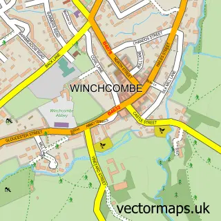
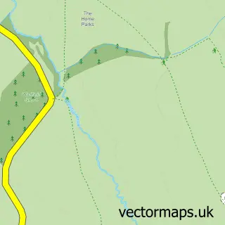
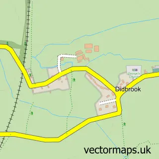
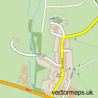
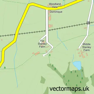
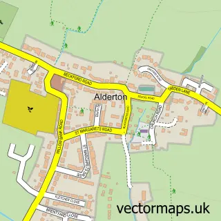
This Greet street map is a detailed vector street map covering a 750m x 750m area. Select a larger area to create and download your own vector street map of Greet.
The 750-metre map sample for Greet covers 170 mapped buildings and approximately 11.6 km of road detail, of which 10 named roads are named. The immediate area includes 1 railway station, 1 GP surgery within 2 miles and 2 MOT stations within 2 miles. The wider area around Greet features 2 tourism points of interest and 2 campsites within 2 miles. To create a larger or custom map of Greet, the map builder lets you define your own coverage area and download editable SVG, PDF and PNG files.
Create a larger editable map of Greet
Choose any area you need and generate a high-quality vector map instantly. Perfect for print, planning, design, business and personal use.

This Greet street map in Gloucestershire is available as downloadable SVG, PDF and PNG map files, or as a printed map for planning, business, display, education, local information and design work. You can also create a larger custom map area using the map selector.
What this Greet map sample shows
Greet lies within Winchcombe Cp parish, part of Winchcombe ward in the Tewkesbury District (B) local authority area. The postcode geography for this area includes the GL postcode area, the GL54 postcode district and the GL54 5 postcode sector. Residents fall under the Nhs Gloucestershire Integrated Care Board for NHS services.
Local features near Greet
Within 2 milesAmenities and services in and around Greet.
Administrative and postcode information for Greet
The local authority covering Greet is Tewkesbury District (B), within the county of Gloucestershire. The settlement lies within Winchcombe ward and Winchcombe Cp civil parish. The GL54 postcode district and GL54 5 postcode sector serve the immediate area. NHS provision in the area is delivered through Gloucestershire Hospitals Nhs Foundation Trust.
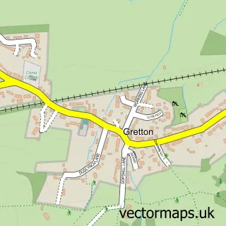
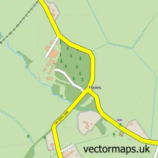
Nearby street map samples around Greet

More street maps in Gloucestershire
750 metre map area coverage
Boundary, postcode and point of interest information for the 750m x 750m rectangle centred on this sample map.
Boundaries containing map centre
Constituency: Tewkesbury Co Const
County: Gloucestershire County
District: Tewkesbury District (B)
Icb: NHS Gloucestershire ICB
Parish: Winchcombe CP
Police Force: gloucestershire
Postcode District: GL54
Postcode Sector: GL54 5
Ward: Winchcombe Ward
Nearby boundaries intersecting sample
No additional intersecting boundaries found.
Postcode coverage
POI category counts
Naturopathic Holistic: 3
Landmark And Historical Building: 2
Retail: 2
Train Station: 2
Advertising Agency: 1
Bed And Breakfast: 1
Building Supply Store: 1
Car Dealer: 1
Carpenter: 1
College University: 1
Sample points of interest
- Sam Forrest P R
- Byways House
- M J Miller
- Calibre Motor Company
- Timberbox
- Awareness Training
- The Coretex Group
- Portable Power Solutions Ltd.
- Owlstone Barn
- Mill Farm Hunter Hirelings
- Gloucestershire Warwickshire Steam Railway
- Greet
Create a larger editable map of Greet
This sample shows only a 750 metre area. To create a larger map of Greet, use our map builder to choose your own coverage area, add titles and download editable SVG, PDF and PNG files.
Create a custom map of Greet