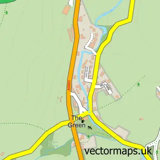
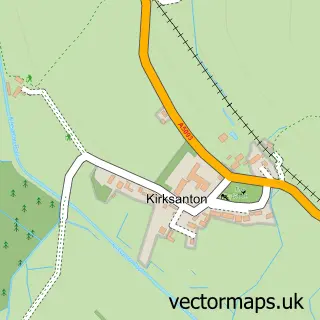
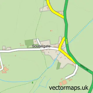
This The Hill street map is a detailed vector street map covering a 750m x 750m area. Select a larger area to create and download your own vector street map of The Hill.
The 750-metre map sample for The Hill covers 89 mapped buildings and approximately 6.6 km of road detail. The immediate area includes 1 GP surgery within 2 miles and 2 MOT stations within 2 miles. The wider area around The Hill features 1 campsite within 2 miles. To create a larger or custom map of The Hill, the map builder lets you define your own coverage area and download editable SVG, PDF and PNG files.
Create a larger editable map of The Hill
Choose any area you need and generate a high-quality vector map instantly. Perfect for print, planning, design, business and personal use.

This The Hill street map in Cumbria is available as downloadable SVG, PDF and PNG map files, or as a printed map for planning, business, display, education, local information and design work. You can also create a larger custom map area using the map selector.
What this The Hill map sample shows
The Hill lies within Millom Without Cp parish, part of Black Combe & Scafell ward in the Cumberland local authority area. The postcode geography for this area includes the LA postcode area, the LA18 postcode district and the LA18 5 postcode sector. Residents fall under the Nhs Lancashire And South Cumbria Integrated Care Board for NHS services.
Local features near The Hill
Within 2 milesAmenities and services in and around The Hill.
Administrative and postcode information for The Hill
The local authority covering The Hill is Cumberland, within the county of Cumbria. The settlement lies within Black Combe & Scafell ward and Millom Without Cp civil parish. The LA18 postcode district and LA18 5 postcode sector serve the immediate area. NHS provision in the area is delivered through University Hospitals Of Morecambe Bay Nhs Foundation Trust.
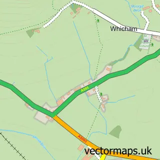
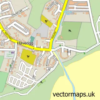
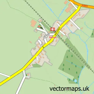
Nearby street map samples around The Hill

More street maps in Cumbria
750 metre map area coverage
Boundary, postcode and point of interest information for the 750m x 750m rectangle centred on this sample map.
Boundaries containing map centre
Constituency: Barrow and Furness Co Const
District: Cumberland
Icb: NHS Lancashire and South Cumbria ICB
Parish: Millom Without CP
Police Force: cumbria
Postcode District: LA18
Postcode Sector: LA18 5
Ward: Millom Without Ward
Nearby boundaries intersecting sample
No additional intersecting boundaries found.
Postcode coverage
POI category counts
Holiday Rental Home: 1
Linen: 1
Retail: 1
Self Catering Accommodation: 1
Sample points of interest
- Duddon View Holiday Cottage.
- Lakeland Blinds Ltd
- Aggregate Industries
- Underhill Farmhouse
Create a larger editable map of The Hill
This sample shows only a 750 metre area. To create a larger map of The Hill, use our map builder to choose your own coverage area, add titles and download editable SVG, PDF and PNG files.
Create a custom map of The Hill