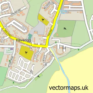
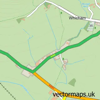
This Millom street map is a detailed vector street map covering a 750m x 750m area. Select a larger area to create and download your own vector street map of Millom.
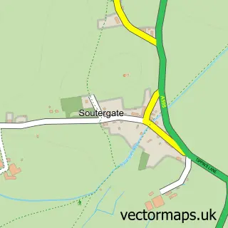
The 750-metre map sample for Millom covers 377 mapped buildings and approximately 19.6 km of road detail, of which 44 named roads are named. The immediate area includes 1 primary school and 1 secondary school, 1 railway station, 1 GP surgery and 1 pub among other local services. The wider area around Millom features 2 tourism points of interest, 7 food and drink venues and 1 hotel. To create a larger or custom map of Millom, the map builder lets you define your own coverage area and download editable SVG, PDF and PNG files.
Create a larger editable map of Millom
Choose any area you need and generate a high-quality vector map instantly. Perfect for print, planning, design, business and personal use.

This Millom street map in Cumbria is available as downloadable SVG, PDF and PNG map files, or as a printed map for planning, business, display, education, local information and design work. You can also create a larger custom map area using the map selector.
What this Millom map sample shows
Millom lies within Millom Cp parish, part of Millom ward in the Cumberland local authority area. The postcode geography for this area includes the LA postcode area, the LA18 postcode district and the LA18 4 postcode sector. Residents fall under the Nhs Lancashire And South Cumbria Integrated Care Board for NHS services.
Local features near Millom
Within 2 milesAmenities and services in and around Millom.
Administrative and postcode information for Millom
Millom lies within Millom Cp parish, part of Millom ward in the Cumberland local authority area. The postcode geography for this area includes the LA postcode area, the LA18 postcode district and the LA18 4 postcode sector. Residents fall under the Nhs Lancashire And South Cumbria Integrated Care Board for NHS services.
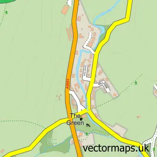
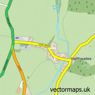
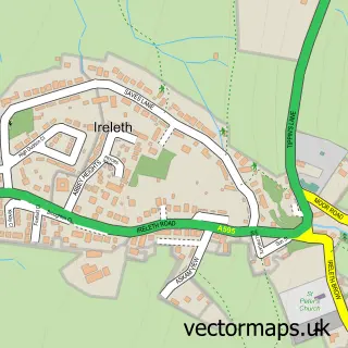
Nearby street map samples around Millom

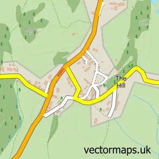
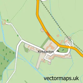
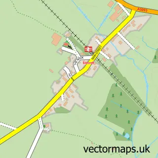
More street maps in Cumbria
750 metre map area coverage
Boundary, postcode and point of interest information for the 750m x 750m rectangle centred on this sample map.
Boundaries containing map centre
Constituency: Barrow and Furness Co Const
District: Cumberland
Icb: NHS Lancashire and South Cumbria ICB
Parish: Millom CP
Police Force: cumbria
Postcode District: LA18
Postcode Sector: LA18 5
Ward: Millom Ward
Nearby boundaries intersecting sample
Postcode Sector: LA18 4
Postcode coverage
POI category counts
Professional Services: 6
Real Estate Agent: 5
Automotive Repair: 4
Cafe: 4
Passport And Visa Services: 4
Bar: 3
Beauty Salon: 3
Convenience Store: 3
Dentist: 3
Hardware Store: 3
Sample points of interest
- International Institute For Restorative Practices Europe
- Power World
- Rose's Woolcrafts
- Palladium Theatre
- PayPoint
- Motability Scheme at W Milligan & Sons Ford Millom
- W Milligan & Sons - Millom
- W. Milligan & Sons
- Whartons Garage
- Harvest Bakery
- The Bakehouse
- Furness Building Society
Create a larger editable map of Millom
This sample shows only a 750 metre area. To create a larger map of Millom, use our map builder to choose your own coverage area, add titles and download editable SVG, PDF and PNG files.
Create a custom map of Millom