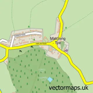
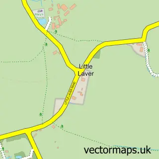
This Threshers Bush street map is a detailed vector street map covering a 750m x 750m area. Select a larger area to create and download your own vector street map of Threshers Bush.
The 750-metre map sample for Threshers Bush covers 39 mapped buildings and approximately 8.8 km of road detail, of which 2 named roads are named. The immediate area includes 1 GP surgery within 2 miles, 1 pub and 2 MOT stations within 2 miles. The wider area around Threshers Bush features 1 food and drink venue. To create a larger or custom map of Threshers Bush, the map builder lets you define your own coverage area and download editable SVG, PDF and PNG files.
Create a larger editable map of Threshers Bush
Choose any area you need and generate a high-quality vector map instantly. Perfect for print, planning, design, business and personal use.

This Threshers Bush street map in Essex is available as downloadable SVG, PDF and PNG map files, or as a printed map for planning, business, display, education, local information and design work. You can also create a larger custom map area using the map selector.
What this Threshers Bush map sample shows
Threshers Bush lies within Matching Cp parish, part of Hastingwood, Matching And Sheering Village ward in the Epping Forest District local authority area. The postcode geography for this area includes the CM postcode area, the CM17 postcode district and the CM17 0 postcode sector. Residents fall under the Nhs Hertfordshire And West Essex Integrated Care Board for NHS services.
Local features near Threshers Bush
Within 2 milesAmenities and services in and around Threshers Bush.
Administrative and postcode information for Threshers Bush
The local authority covering Threshers Bush is Epping Forest District, within the county of Essex. The settlement lies within Hastingwood, Matching And Sheering Village ward and Matching Cp civil parish. The CM17 postcode district and CM17 0 postcode sector serve the immediate area. NHS provision in the area is delivered through The Princess Alexandra Hospital Nhs Trust.
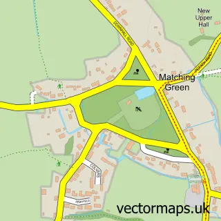
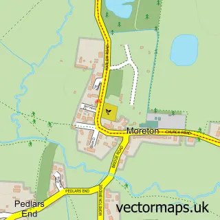
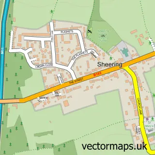
Nearby street map samples around Threshers Bush

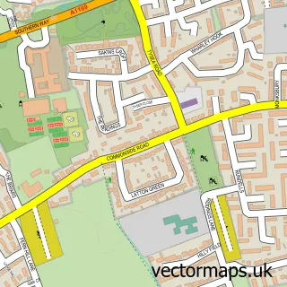
More street maps in Essex
750 metre map area coverage
Boundary, postcode and point of interest information for the 750m x 750m rectangle centred on this sample map.
Boundaries containing map centre
Constituency: Harlow Co Const
County: Essex County
District: Epping Forest District
Icb: NHS Central East ICB
Parish: Matching CP
Police Force: essex
Postcode District: CM17
Postcode Sector: CM17 0
Ward: Rural East Ward
Nearby boundaries intersecting sample
Constituency: Brentwood and Ongar Co Const
Parish: High Laver CP, North Weald Bassett CP
Postcode Sector: CM17 9
Ward: North Weald Bassett Ward
Postcode coverage
POI category counts
Accountant: 1
Advertising Agency: 1
Business Management Services: 1
Electrician: 1
Financial Advising: 1
Furniture Store: 1
Gardener: 1
Gastropub: 1
Horse Boarding: 1
Industrial Company: 1
Sample points of interest
- Deciphr Ltd
- Absolutely Health
- Hog Group
- NJP Installations
- Daniel Green Wealth Management
- Cluett Carpentry Ltd
- Greenarb
- John Barleycorn
- Threshers Equestrian
- Distribution Maintenance
- The John Barleycorn
- Quick Pick Me Up Recovery
Create a larger editable map of Threshers Bush
This sample shows only a 750 metre area. To create a larger map of Threshers Bush, use our map builder to choose your own coverage area, add titles and download editable SVG, PDF and PNG files.
Create a custom map of Threshers Bush