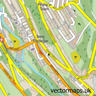
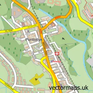
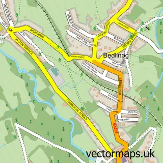
This Tir-Phil street map is a detailed vector street map covering a 750m x 750m area. Select a larger area to create and download your own vector street map of Tir-Phil.
The 750-metre map sample for Tir-Phil covers 122 mapped buildings and approximately 57.6 km of road detail, of which 16 named roads are named. The immediate area includes 1 railway station, 1 GP surgery within 2 miles, 2 pubs and 2 MOT stations within 2 miles. The wider area around Tir-Phil features 1 tourism point of interest and 2 food and drink venues. To create a larger or custom map of Tir-Phil, the map builder lets you define your own coverage area and download editable SVG, PDF and PNG files.
Create a larger editable map of Tir-Phil
Choose any area you need and generate a high-quality vector map instantly. Perfect for print, planning, design, business and personal use.

This Tir-Phil street map in Gwent is available as downloadable SVG, PDF and PNG map files, or as a printed map for planning, business, display, education, local information and design work. You can also create a larger custom map area using the map selector.
What this Tir-Phil map sample shows
Tir-Phil lies within New Tredegar Community parish, part of New Tredegar ward in the Caerffili - Caerphilly local authority area. The postcode geography for this area includes the NP postcode area, the NP24 postcode district and the NP24 6 postcode sector. Residents fall under the Aneurin Bevan University Health Board for NHS services.
Local features near Tir-Phil
Within 2 milesAmenities and services in and around Tir-Phil.
Administrative and postcode information for Tir-Phil
Tir-Phil lies within New Tredegar Community parish, part of New Tredegar ward in the Caerffili - Caerphilly local authority area. The postcode geography for this area includes the NP postcode area, the NP24 postcode district and the NP24 6 postcode sector. Residents fall under the Aneurin Bevan University Health Board for NHS services.
Nearby street map samples around Tir-Phil

More street maps in Gwent
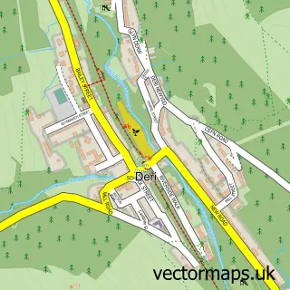
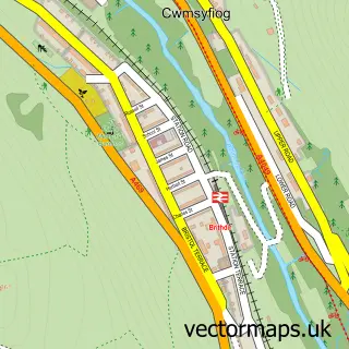
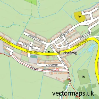
750 metre map area coverage
Boundary, postcode and point of interest information for the 750m x 750m rectangle centred on this sample map.
Boundaries containing map centre
Constituency: Blaenau Gwent and Rhymney Co Const
District: Caerffili - Caerphilly
Icb: Aneurin Bevan University
Parish: New Tredegar Community
Police Force: gwent
Postcode District: NP24
Postcode Sector: NP24 6
Nearby boundaries intersecting sample
Parish: Darran Valley Community
Postcode District: CF81
Postcode Sector: CF81 9
Postcode coverage
POI category counts
Pub: 2
Sports And Recreation Venue: 2
Automotive: 1
Baseball Field: 1
Beauty Salon: 1
Landmark And Historical Building: 1
Train Station: 1
Sample points of interest
- J & L Autoweld
- Grove Park
- Crazy Cuts Unisex Hair And Beauty Salon
- Tir-Phil
- The Dynevor Arms
- The Rising Sun
- New Tredegar Leisure Centre
- New Tredegar Sports Centre
- Tir-Phil railway station
Create a larger editable map of Tir-Phil
This sample shows only a 750 metre area. To create a larger map of Tir-Phil, use our map builder to choose your own coverage area, add titles and download editable SVG, PDF and PNG files.
Create a custom map of Tir-Phil