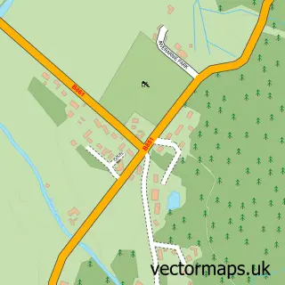
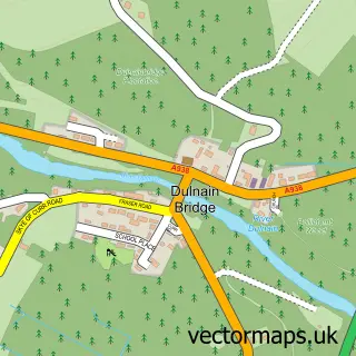
This Tomatin street map is a detailed vector street map covering a 750m x 750m area. Select a larger area to create and download your own vector street map of Tomatin.
The 750-metre map sample for Tomatin covers 72 mapped buildings and approximately 7.9 km of road detail, of which 4 named roads are named. The wider area around Tomatin features 1 tourism point of interest and 1 food and drink venue. To create a larger or custom map of Tomatin, the map builder lets you define your own coverage area and download editable SVG, PDF and PNG files.
Create a larger editable map of Tomatin
Choose any area you need and generate a high-quality vector map instantly. Perfect for print, planning, design, business and personal use.

This Tomatin street map in Inverness is available as downloadable SVG, PDF and PNG map files, or as a printed map for planning, business, display, education, local information and design work. You can also create a larger custom map area using the map selector.
What this Tomatin map sample shows
Tomatin lies within Highland parish, part of Inverness South ward in the Highland local authority area. The postcode geography for this area includes the IV postcode area, the IV13 postcode district and the IV13 7 postcode sector. Residents fall under the Highland for NHS services.
Local features near Tomatin
Within 2 milesAmenities and services in and around Tomatin.
Administrative and postcode information for Tomatin
Tomatin lies within Highland parish, part of Inverness South ward in the Highland local authority area. The postcode geography for this area includes the IV postcode area, the IV13 postcode district and the IV13 7 postcode sector. Residents fall under the Highland for NHS services.
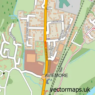
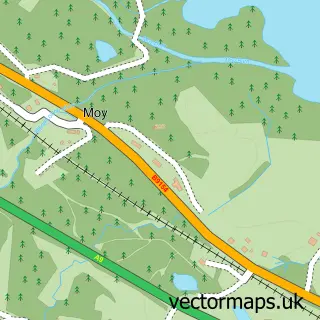
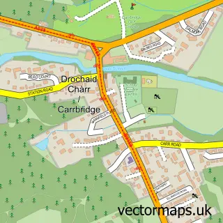
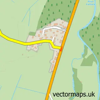
Nearby street map samples around Tomatin

More street maps in Inverness
750 metre map area coverage
Boundary, postcode and point of interest information for the 750m x 750m rectangle centred on this sample map.
Boundaries containing map centre
Constituency: Inverness, Skye and West Ross-shire Co Const
District: Highland
Icb: Highland
Postcode District: IV13
Postcode Sector: IV13 7
Ward: Inverness South Ward
Nearby boundaries intersecting sample
No additional intersecting boundaries found.
Postcode coverage
POI category counts
Business To Business Services: 2
Elementary School: 2
Holiday Rental Home: 2
Bed And Breakfast: 1
Business Management Services: 1
Cafe: 1
Catholic Church: 1
Ev Charging Station: 1
Landmark And Historical Building: 1
Pet Groomer: 1
Sample points of interest
- Juniper Lodges
- The Strathdearn Hub
- Conscious Solutions
- Conscious solutions
- Tastes of Tomatin
- Tomatin Parish Church
- Strathdearn Primary School
- Strathdearn Primary School
- PoGo Charge
- Mill View Cottage | Melfort Estate
- The Old School House, The Highlands
- Tomatin
Create a larger editable map of Tomatin
This sample shows only a 750 metre area. To create a larger map of Tomatin, use our map builder to choose your own coverage area, add titles and download editable SVG, PDF and PNG files.
Create a custom map of Tomatin