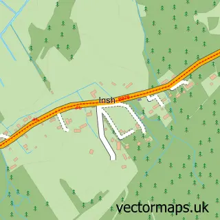
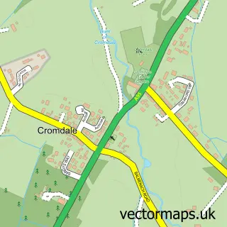
This Aviemore street map is a detailed vector street map covering a 750m x 750m area. Select a larger area to create and download your own vector street map of Aviemore.
The 750-metre map sample for Aviemore covers 135 mapped buildings and approximately 9.9 km of road detail, of which 12 named roads are named. The immediate area includes 1 GP surgery within 2 miles, 2 pubs and 1 MOT station within 2 miles. The wider area around Aviemore features 2 tourism points of interest, 14 food and drink venues and 7 hotels. To create a larger or custom map of Aviemore, the map builder lets you define your own coverage area and download editable SVG, PDF and PNG files.
Create a larger editable map of Aviemore
Choose any area you need and generate a high-quality vector map instantly. Perfect for print, planning, design, business and personal use.

This Aviemore street map in Inverness is available as downloadable SVG, PDF and PNG map files, or as a printed map for planning, business, display, education, local information and design work. You can also create a larger custom map area using the map selector.
What this Aviemore map sample shows
Aviemore lies within Highland parish, part of Badenoch And Strathspey ward in the Highland local authority area. The postcode geography for this area includes the PH postcode area, the PH22 postcode district and the PH22 1 postcode sector. Residents fall under the Highland for NHS services.
Local features near Aviemore
Within 2 milesAmenities and services in and around Aviemore.
Administrative and postcode information for Aviemore
Aviemore lies within Highland parish, part of Badenoch And Strathspey ward in the Highland local authority area. The postcode geography for this area includes the PH postcode area, the PH22 postcode district and the PH22 1 postcode sector. Residents fall under the Highland for NHS services.
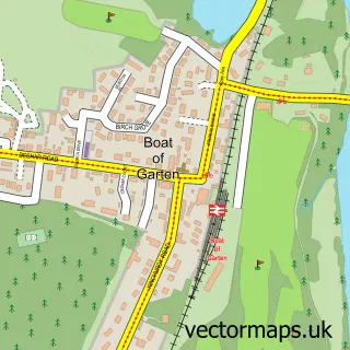
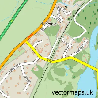
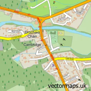
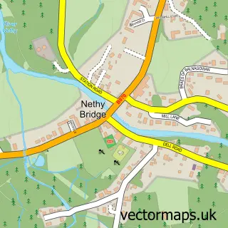
Nearby street map samples around Aviemore

More street maps in Inverness
750 metre map area coverage
Boundary, postcode and point of interest information for the 750m x 750m rectangle centred on this sample map.
Boundaries containing map centre
Constituency: Moray West, Nairn and Strathspey Co Const
District: Highland
Icb: Highland
Postcode District: PH22
Postcode Sector: PH22 1
Ward: Badenoch and Strathspey Ward
Nearby boundaries intersecting sample
No additional intersecting boundaries found.
Postcode coverage
POI category counts
Bed And Breakfast: 7
Hotel: 7
Coffee Shop: 6
Outdoor Gear: 5
Bicycle Shop: 4
Cafe: 4
Holiday Rental Home: 4
Self Catering Accommodation: 4
Bike Rentals: 3
Convenience Store: 3
Sample points of interest
- Aviemore Ski Shack
- Sue Ryder Care
- Walkers Shortbread
- Community Banker High Life Highland
- The Balavoulin
- The Doo Below
- Skiing Doo
- Georgia the barber
- Body Mind And Spirit Beauty Aviemore
- Velvets Beauty Room
- Aviemore Beauty
- Beautique Aviemore
Create a larger editable map of Aviemore
This sample shows only a 750 metre area. To create a larger map of Aviemore, use our map builder to choose your own coverage area, add titles and download editable SVG, PDF and PNG files.
Create a custom map of Aviemore