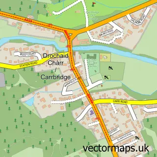
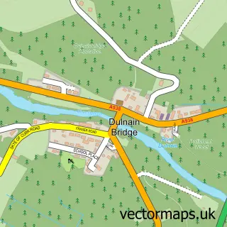
This Kincraig street map is a detailed vector street map covering a 750m x 750m area. Select a larger area to create and download your own vector street map of Kincraig.
The 750-metre map sample for Kincraig covers 97 mapped buildings and approximately 16.1 km of road detail, of which 10 named roads are named. The immediate area includes 1 pub and 1 MOT station within 2 miles. The wider area around Kincraig features 1 tourism point of interest, 2 food and drink venues and 3 hotels. To create a larger or custom map of Kincraig, the map builder lets you define your own coverage area and download editable SVG, PDF and PNG files.
Create a larger editable map of Kincraig
Choose any area you need and generate a high-quality vector map instantly. Perfect for print, planning, design, business and personal use.

This Kincraig street map in Inverness is available as downloadable SVG, PDF and PNG map files, or as a printed map for planning, business, display, education, local information and design work. You can also create a larger custom map area using the map selector.
What this Kincraig map sample shows
Kincraig lies within Highland parish, part of Badenoch And Strathspey ward in the Highland local authority area. The postcode geography for this area includes the PH postcode area, the PH21 postcode district and the PH21 1 postcode sector. Residents fall under the Highland for NHS services.
Local features near Kincraig
Within 2 milesAmenities and services in and around Kincraig.
Administrative and postcode information for Kincraig
Kincraig lies within Highland parish, part of Badenoch And Strathspey ward in the Highland local authority area. The postcode geography for this area includes the PH postcode area, the PH21 postcode district and the PH21 1 postcode sector. Residents fall under the Highland for NHS services.
Nearby street map samples around Kincraig
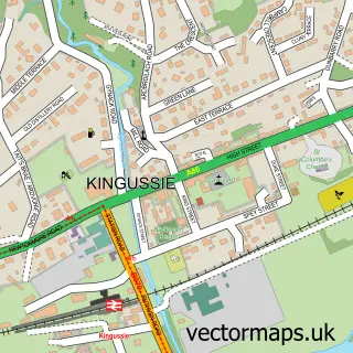

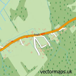
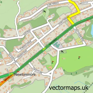
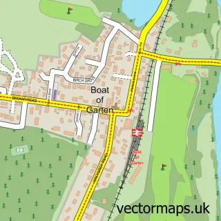
More street maps in Inverness
750 metre map area coverage
Boundary, postcode and point of interest information for the 750m x 750m rectangle centred on this sample map.
Boundaries containing map centre
Constituency: Moray West, Nairn and Strathspey Co Const
District: Highland
Icb: Highland
Postcode District: PH21
Postcode Sector: PH21 1
Ward: Badenoch and Strathspey Ward
Nearby boundaries intersecting sample
No additional intersecting boundaries found.
Postcode coverage
POI category counts
Hotel: 3
Post Office: 2
Alternative Medicine: 1
Bakery: 1
Cafe: 1
Church Cathedral: 1
Community Center: 1
Inn: 1
Lodge: 1
Museum: 1
Sample points of interest
- Frontier Science
- Reviving food
- Old Post Office Cafe Gallery
- Alvie & Insh Church
- Kincraig Community Hall
- Ballintean Lodges
- Forces Manor
- Suie Hotel Kincraig Kingussie
- Ossian
- The Neuk Kincraig
- The Highlands, Scotland
- The Hypnotist
Create a larger editable map of Kincraig
This sample shows only a 750 metre area. To create a larger map of Kincraig, use our map builder to choose your own coverage area, add titles and download editable SVG, PDF and PNG files.
Create a custom map of Kincraig