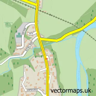
This Newtonmore street map is a detailed vector street map covering a 750m x 750m area. Select a larger area to create and download your own vector street map of Newtonmore.
The 750-metre map sample for Newtonmore covers 217 mapped buildings and approximately 15.4 km of road detail, of which 13 named roads are named. The wider area around Newtonmore features 4 tourism points of interest, 6 food and drink venues and 11 hotels. To create a larger or custom map of Newtonmore, the map builder lets you define your own coverage area and download editable SVG, PDF and PNG files.
Create a larger editable map of Newtonmore
Choose any area you need and generate a high-quality vector map instantly. Perfect for print, planning, design, business and personal use.

This Newtonmore street map in Inverness is available as downloadable SVG, PDF and PNG map files, or as a printed map for planning, business, display, education, local information and design work. You can also create a larger custom map area using the map selector.
What this Newtonmore map sample shows
Newtonmore lies within Highland parish, part of Badenoch And Strathspey ward in the Highland local authority area. The postcode geography for this area includes the PH postcode area, the PH20 postcode district and the PH20 1 postcode sector. Residents fall under the Highland for NHS services.
Local features near Newtonmore
Within 2 milesAmenities and services in and around Newtonmore.
Administrative and postcode information for Newtonmore
Newtonmore lies within Highland parish, part of Badenoch And Strathspey ward in the Highland local authority area. The postcode geography for this area includes the PH postcode area, the PH20 postcode district and the PH20 1 postcode sector. Residents fall under the Highland for NHS services.
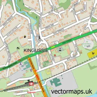
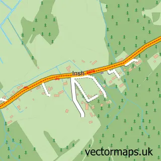
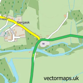
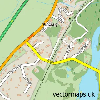
Nearby street map samples around Newtonmore

More street maps in Inverness
750 metre map area coverage
Boundary, postcode and point of interest information for the 750m x 750m rectangle centred on this sample map.
Boundaries containing map centre
Constituency: Moray West, Nairn and Strathspey Co Const
District: Highland
Icb: Highland
Postcode District: PH20
Postcode Sector: PH20 1
Ward: Badenoch and Strathspey Ward
Nearby boundaries intersecting sample
No additional intersecting boundaries found.
Postcode coverage
POI category counts
Hotel: 10
Atms: 3
Bed And Breakfast: 3
Cafe: 3
Cottage: 3
Convenience Store: 2
Holiday Rental Home: 2
Kids Recreation And Party: 2
Mountain: 2
Pharmacy: 2
Sample points of interest
- Newtonmore Bowling Club
- Anne Connolly Osteopathic Practice
- Blythswood Care
- Learn and Create
- MFG - Newtonmore (MRH)
- NEWTONMORE VILLAGE HALL (Mirren)
- The Cooperative Food Newtonmore, Balavil Brae
- Active Outdoor Pursuits
- The View at Newtonmore Golf Club
- Clune House
- Crubenbeg Country House
- Larick House B&B
Create a larger editable map of Newtonmore
This sample shows only a 750 metre area. To create a larger map of Newtonmore, use our map builder to choose your own coverage area, add titles and download editable SVG, PDF and PNG files.
Create a custom map of Newtonmore