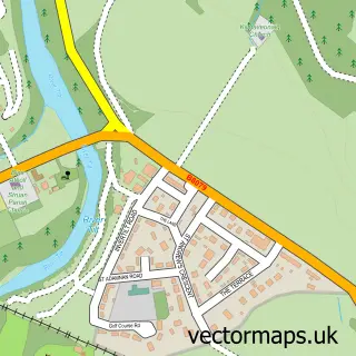
This Dalwhinnie street map is a detailed vector street map covering a 750m x 750m area. Select a larger area to create and download your own vector street map of Dalwhinnie.
The 750-metre map sample for Dalwhinnie covers 33 mapped buildings and approximately 4.9 km of road detail, of which 3 named roads are named. The immediate area includes 1 railway station. The wider area around Dalwhinnie features 1 tourism point of interest, 1 food and drink venue and 1 hotel. To create a larger or custom map of Dalwhinnie, the map builder lets you define your own coverage area and download editable SVG, PDF and PNG files.
Create a larger editable map of Dalwhinnie
Choose any area you need and generate a high-quality vector map instantly. Perfect for print, planning, design, business and personal use.

This Dalwhinnie street map in Inverness is available as downloadable SVG, PDF and PNG map files, or as a printed map for planning, business, display, education, local information and design work. You can also create a larger custom map area using the map selector.
What this Dalwhinnie map sample shows
Dalwhinnie lies within Highland parish, part of Badenoch And Strathspey ward in the Highland local authority area. The postcode geography for this area includes the PH postcode area, the PH19 postcode district and the PH19 1 postcode sector. Residents fall under the Highland for NHS services.
Local features near Dalwhinnie
Within 2 milesAmenities and services in and around Dalwhinnie.
Administrative and postcode information for Dalwhinnie
Dalwhinnie lies within Highland parish, part of Badenoch And Strathspey ward in the Highland local authority area. The postcode geography for this area includes the PH postcode area, the PH19 postcode district and the PH19 1 postcode sector. Residents fall under the Highland for NHS services.
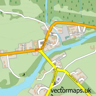
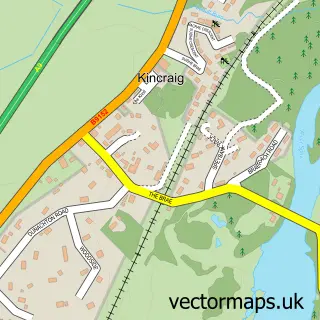
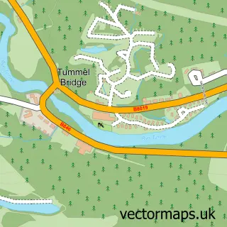
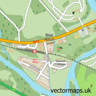
Nearby street map samples around Dalwhinnie
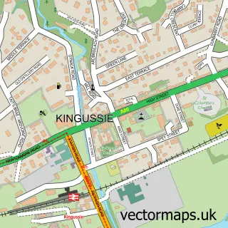

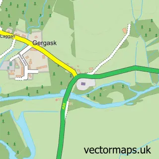
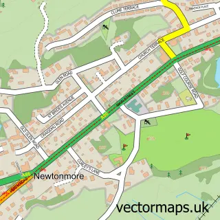
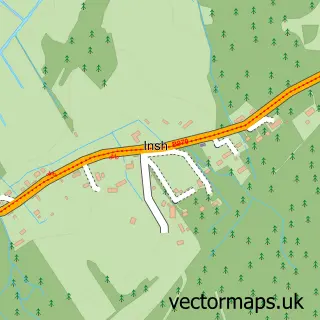
More street maps in Inverness
750 metre map area coverage
Boundary, postcode and point of interest information for the 750m x 750m rectangle centred on this sample map.
Boundaries containing map centre
Constituency: Moray West, Nairn and Strathspey Co Const
District: Highland
Icb: Highland
Postcode District: PH19
Postcode Sector: PH19 1
Ward: Badenoch and Strathspey Ward
Nearby boundaries intersecting sample
No additional intersecting boundaries found.
Postcode coverage
POI category counts
Lodge: 2
Train Station: 2
Business Management Services: 1
Cafe: 1
Delicatessen: 1
Elementary School: 1
Holiday Rental Home: 1
Hotel: 1
Landmark And Historical Building: 1
Topic Concert Venue: 1
Sample points of interest
- Jules Akel
- The Deerstalker Diner
- Dalwhinnie Deli
- Dalwhinnie Primary School
- River View Dalwhinnie
- Truim Cottage No.2
- BEN ALDER rail crossing
- Ben Alder Estate Office
- Ben Alder Lodge
- Dalwhinnie Village Hall
- Dalwhinnie
- Dalwhinnie railway station
Create a larger editable map of Dalwhinnie
This sample shows only a 750 metre area. To create a larger map of Dalwhinnie, use our map builder to choose your own coverage area, add titles and download editable SVG, PDF and PNG files.
Create a custom map of Dalwhinnie