This Trefor street map is a detailed vector street map covering a 750m x 750m area. Select a larger area to create and download your own vector street map of Trefor.
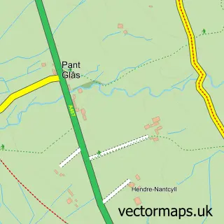
The 750-metre map sample for Trefor covers 178 mapped buildings and approximately 13.2 km of road detail, of which 8 named roads are named. The immediate area includes 1 school, 1 GP surgery within 2 miles, 1 pub and 1 MOT station. The wider area around Trefor features 1 food and drink venue, 1 hotel and 4 campsites within 2 miles. To create a larger or custom map of Trefor, the map builder lets you define your own coverage area and download editable SVG, PDF and PNG files.
Create a larger editable map of Trefor
Choose any area you need and generate a high-quality vector map instantly. Perfect for print, planning, design, business and personal use.

This Trefor street map in Gwynedd is available as downloadable SVG, PDF and PNG map files, or as a printed map for planning, business, display, education, local information and design work. You can also create a larger custom map area using the map selector.
What this Trefor map sample shows
Trefor lies within Llanaelhaearn Community parish, part of Llanaelhaearn ward in the Gwynedd - Gwynedd local authority area. The postcode geography for this area includes the LL postcode area, the LL54 postcode district and the LL54 5 postcode sector. Local NHS services are provided through Betsi Cadwaladr University Health Board.
Local features near Trefor
Within 2 milesAmenities and services in and around Trefor.
Administrative and postcode information for Trefor
Trefor lies within Llanaelhaearn Community parish, part of Llanaelhaearn ward in the Gwynedd - Gwynedd local authority area. The postcode geography for this area includes the LL postcode area, the LL54 postcode district and the LL54 5 postcode sector. Local NHS services are provided through Betsi Cadwaladr University Health Board.
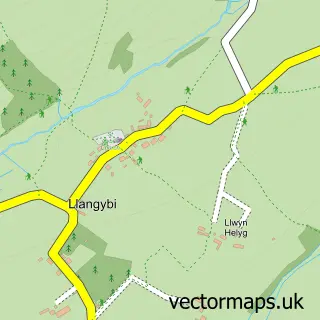
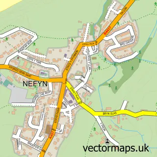
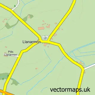
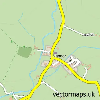
Nearby street map samples around Trefor

More street maps in Gwynedd
750 metre map area coverage
Boundary, postcode and point of interest information for the 750m x 750m rectangle centred on this sample map.
Boundaries containing map centre
Constituency: Dwyfor Meirionnydd Co Const
District: Gwynedd - Gwynedd
Icb: Betsi Cadwaladr University
Parish: Trefor a Llanaelhaearn Community
Police Force: north wales
Postcode District: LL54
Postcode Sector: LL54 5
Nearby boundaries intersecting sample
No additional intersecting boundaries found.
Postcode coverage
POI category counts
Post Office: 2
British Restaurant: 1
Contractor: 1
Convenience Store: 1
Cottage: 1
Elementary School: 1
Food Beverage Service Distribution: 1
Hotel: 1
Pub: 1
Recycling Center: 1
Sample points of interest
- Bert's Kitchen Garden
- T.J.LLOYD Plasterers
- Premier
- Ynata Cottage
- Ysgol Yr Eifl
- Richard Edgley Ltd
- Mynydd A Môr Mountains and Sea
- Post Office
- Trefor Post Office
- Y Tŵr
- British Heart Foundation
Create a larger editable map of Trefor
This sample shows only a 750 metre area. To create a larger map of Trefor, use our map builder to choose your own coverage area, add titles and download editable SVG, PDF and PNG files.
Create a custom map of Trefor