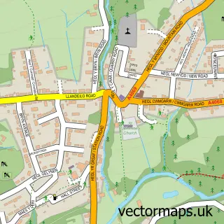
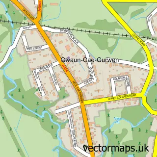
This Twyn street map is a detailed vector street map covering a 750m x 750m area. Select a larger area to create and download your own vector street map of Twyn.
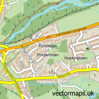
The 750-metre map sample for Twyn covers 213 mapped buildings and approximately 14.1 km of road detail, of which 16 named roads are named. The immediate area includes 3 GP surgeries within 2 miles and 5 MOT stations within 2 miles. The wider area around Twyn features 1 tourism point of interest. To create a larger or custom map of Twyn, the map builder lets you define your own coverage area and download editable SVG, PDF and PNG files.
Create a larger editable map of Twyn
Choose any area you need and generate a high-quality vector map instantly. Perfect for print, planning, design, business and personal use.

This Twyn street map in Dyfed is available as downloadable SVG, PDF and PNG map files, or as a printed map for planning, business, display, education, local information and design work. You can also create a larger custom map area using the map selector.
What this Twyn map sample shows
Twyn lies within Cwmamman Community parish, part of Garnant ward in the Sir Gaerfyrddin - Carmarthenshire local authority area. The postcode geography for this area includes the SA postcode area, the SA18 postcode district and the SA18 1 postcode sector. Residents fall under the Hywel Dda University Health Board for NHS services.
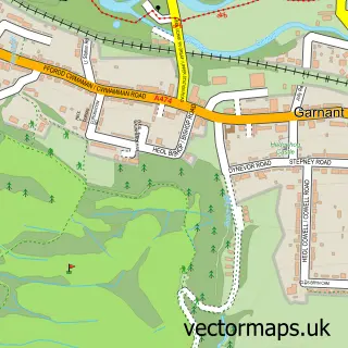
Local features near Twyn
Within 2 milesAmenities and services in and around Twyn.
Administrative and postcode information for Twyn
Twyn lies within Cwmamman Community parish, part of Garnant ward in the Sir Gaerfyrddin - Carmarthenshire local authority area. The postcode geography for this area includes the SA postcode area, the SA18 postcode district and the SA18 1 postcode sector. Residents fall under the Hywel Dda University Health Board for NHS services.
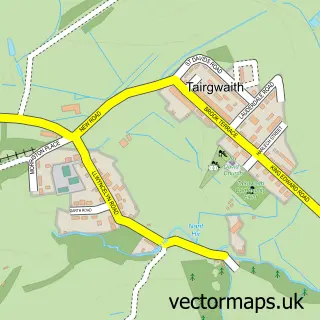
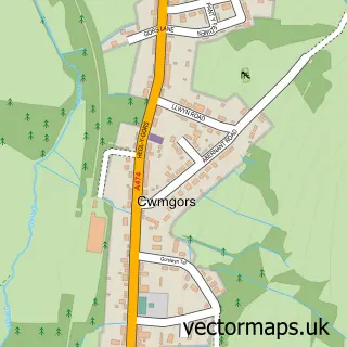
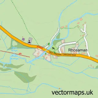
Nearby street map samples around Twyn

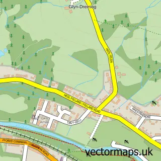
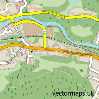
More street maps in Dyfed
750 metre map area coverage
Boundary, postcode and point of interest information for the 750m x 750m rectangle centred on this sample map.
Boundaries containing map centre
Constituency: Caerfyrddin Co Const
District: Sir Gaerfyrddin - Carmarthenshire
Icb: Hywel Dda
Parish: Cwmamman Community
Police Force: dyfed-powys
Postcode District: SA18
Postcode Sector: SA18 1
Nearby boundaries intersecting sample
Constituency: Brecon, Radnor and Cwm Tawe Co Const
District: Castell-nedd Port Talbot - Neath Port Talbot
Parish: Gwaun-Cae-Gurwen Community
Police Force: south wales
Postcode Sector: SA18 2
Postcode coverage
POI category counts
Bakery: 1
Bedding And Bath Stores: 1
Building Supply Store: 1
Church Cathedral: 1
Furniture Store: 1
Golf Course: 1
Landmark And Historical Building: 1
Plumbing: 1
School: 1
Social Service Organizations: 1
Sample points of interest
- Carys Cakes
- Diamond Design Bed Centre
- Repair My Windows
- Christ Church
- Diamond Design Bed Centre
- Garnant Park Golf Club
- Twyn
- G Davies and Son
- Ysgol y Bedol
- Garnant Family Centre
- Parc Golwg yr Amman
Create a larger editable map of Twyn
This sample shows only a 750 metre area. To create a larger map of Twyn, use our map builder to choose your own coverage area, add titles and download editable SVG, PDF and PNG files.
Create a custom map of Twyn