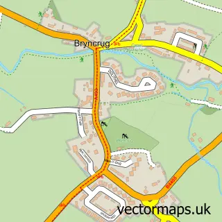
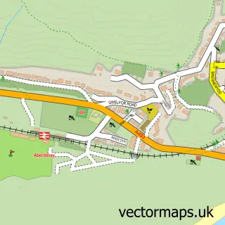
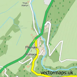
This Tywyn street map is a detailed vector street map covering a 750m x 750m area. Select a larger area to create and download your own vector street map of Tywyn.
The 750-metre map sample for Tywyn covers 321 mapped buildings and approximately 16.4 km of road detail, of which 27 named roads are named. The immediate area includes 2 schools, 2 railway stations, 2 pubs and 2 MOT stations. The wider area around Tywyn features 6 tourism points of interest, 12 food and drink venues and 5 hotels. To create a larger or custom map of Tywyn, the map builder lets you define your own coverage area and download editable SVG, PDF and PNG files.
Create a larger editable map of Tywyn
Choose any area you need and generate a high-quality vector map instantly. Perfect for print, planning, design, business and personal use.

This Tywyn street map in Gwynedd is available as downloadable SVG, PDF and PNG map files, or as a printed map for planning, business, display, education, local information and design work. You can also create a larger custom map area using the map selector.
What this Tywyn map sample shows
Tywyn lies within Tywyn Community parish, part of Tywyn ward in the Gwynedd - Gwynedd local authority area. The postcode geography for this area includes the LL postcode area, the LL36 postcode district and the LL36 9 postcode sector. Residents fall under the Betsi Cadwaladr University Health Board for NHS services.
Local features near Tywyn
Within 2 milesAmenities and services in and around Tywyn.
Administrative and postcode information for Tywyn
The local authority covering Tywyn is Gwynedd - Gwynedd, within the county of Gwynedd. The settlement lies within Tywyn ward and Tywyn Community civil parish. The LL36 postcode district and LL36 9 postcode sector serve the immediate area. NHS provision in the area is delivered through Betsi Cadwaladr University Health Board.
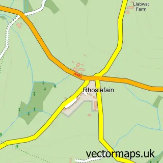
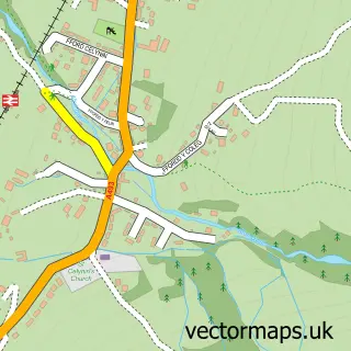
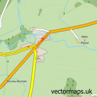
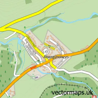
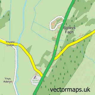
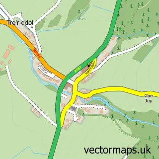
Nearby street map samples around Tywyn

More street maps in Gwynedd
750 metre map area coverage
Boundary, postcode and point of interest information for the 750m x 750m rectangle centred on this sample map.
Boundaries containing map centre
Constituency: Dwyfor Meirionnydd Co Const
District: Gwynedd - Gwynedd
Icb: Betsi Cadwaladr University
Parish: Tywyn Community
Police Force: north wales
Postcode District: LL36
Postcode Sector: LL36 9
Nearby boundaries intersecting sample
Postcode Sector: LL36 0
Postcode coverage
POI category counts
Cafe: 5
Automotive Repair: 4
Beauty Salon: 4
Hotel: 4
Train Station: 4
Arts And Crafts: 3
Banks: 3
Landmark And Historical Building: 3
Professional Services: 3
Restaurant: 3
Sample points of interest
- Pendre Works
- Clwb Hoci Dysynni Hockey Club
- Andys All Sorts
- British Red Cross
- Love to Create
- Storylight Candles
- Sunningdale Guest House & The Pudding Parlour
- Llys Cadfan
- Barclays ATM
- Diamond hand car wash
- Bryn-Y-Mor & Vaenol
- DC Auto Repairs
Create a larger editable map of Tywyn
This sample shows only a 750 metre area. To create a larger map of Tywyn, use our map builder to choose your own coverage area, add titles and download editable SVG, PDF and PNG files.
Create a custom map of Tywyn