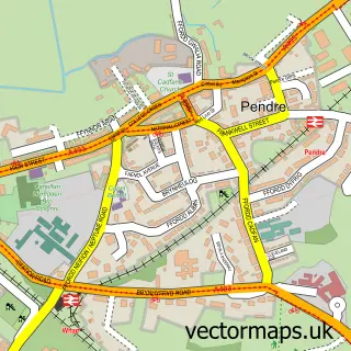
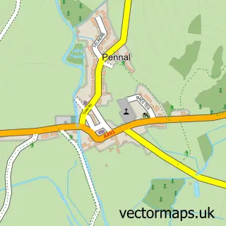
This Aberdyfi street map is a detailed vector street map covering a 750m x 750m area. Select a larger area to create and download your own vector street map of Aberdyfi.
The 750-metre map sample for Aberdyfi covers 123 mapped buildings and approximately 7.3 km of road detail, of which 7 named roads are named. The immediate area includes 1 railway station and 1 MOT station, with 2 within 2 miles. The wider area around Aberdyfi features 1 hotel. To create a larger or custom map of Aberdyfi, the map builder lets you define your own coverage area and download editable SVG, PDF and PNG files.
Create a larger editable map of Aberdyfi
Choose any area you need and generate a high-quality vector map instantly. Perfect for print, planning, design, business and personal use.

This Aberdyfi street map in Gwynedd is available as downloadable SVG, PDF and PNG map files, or as a printed map for planning, business, display, education, local information and design work. You can also create a larger custom map area using the map selector.
What this Aberdyfi map sample shows
Aberdyfi lies within Aberdovey Community parish, part of Aberdovey ward in the Gwynedd - Gwynedd local authority area. The postcode geography for this area includes the LL postcode area, the LL35 postcode district and the LL35 0 postcode sector. Local NHS services are provided through Betsi Cadwaladr University Health Board.
Local features near Aberdyfi
Within 2 milesAmenities and services in and around Aberdyfi.
Administrative and postcode information for Aberdyfi
Aberdyfi lies within Aberdovey Community parish, part of Aberdovey ward in the Gwynedd - Gwynedd local authority area. The postcode geography for this area includes the LL postcode area, the LL35 postcode district and the LL35 0 postcode sector. Local NHS services are provided through Betsi Cadwaladr University Health Board.
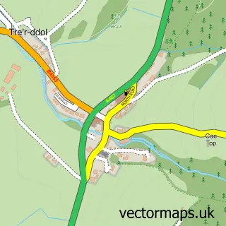
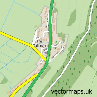
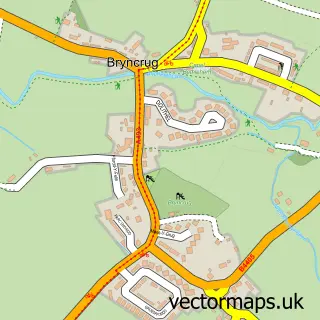
Nearby street map samples around Aberdyfi


More street maps in Gwynedd
750 metre map area coverage
Boundary, postcode and point of interest information for the 750m x 750m rectangle centred on this sample map.
Boundaries containing map centre
Constituency: Dwyfor Meirionnydd Co Const
District: Gwynedd - Gwynedd
Icb: Betsi Cadwaladr University
Parish: Aberdovey Community
Police Force: north wales
Postcode District: LL35
Postcode Sector: LL35 0
Nearby boundaries intersecting sample
No additional intersecting boundaries found.
Postcode coverage
POI category counts
Train Station: 3
Automotive Repair: 1
Beach: 1
Bed And Breakfast: 1
Ev Charging Station: 1
Fire Department: 1
Golf Course: 1
Holiday Rental Home: 1
Hotel: 1
Janitorial Services: 1
Sample points of interest
- Penrhos Garage Aberdyfi LTD
- Aberdyfi
- Sea Breeze Guest House
- Penrhos Caravan Park
- Gorsaf Tân Aberdyfi Fire Station
- Aberdovey Golf Club
- Rockcliffe
- Awel y Mor
- Scrubadub Cleaning Service
- Western Union
- High Mead - holiday let Aberdovey
- Aberdyfi Post Office
Create a larger editable map of Aberdyfi
This sample shows only a 750 metre area. To create a larger map of Aberdyfi, use our map builder to choose your own coverage area, add titles and download editable SVG, PDF and PNG files.
Create a custom map of Aberdyfi