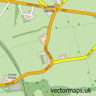
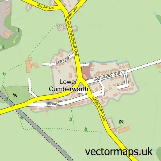
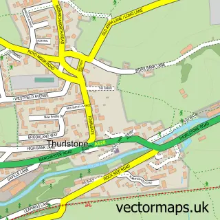
This Upper Denby street map is a detailed vector street map covering a 750m x 750m area. Select a larger area to create and download your own vector street map of Upper Denby.
The 750-metre map sample for Upper Denby covers 168 mapped buildings and approximately 11.0 km of road detail, of which 12 named roads are named. The immediate area includes 1 school and 1 pub. The wider area around Upper Denby features 1 tourism point of interest, 1 food and drink venue and 1 hotel. To create a larger or custom map of Upper Denby, the map builder lets you define your own coverage area and download editable SVG, PDF and PNG files.
Create a larger editable map of Upper Denby
Choose any area you need and generate a high-quality vector map instantly. Perfect for print, planning, design, business and personal use.

This Upper Denby street map in West Yorkshire is available as downloadable SVG, PDF and PNG map files, or as a printed map for planning, business, display, education, local information and design work. You can also create a larger custom map area using the map selector.
What this Upper Denby map sample shows
Upper Denby lies within Gunthwaite And Ingbirchworth Cp parish, part of Penistone West ward in the Barnsley District (B) local authority area. The postcode geography for this area includes the HD postcode area, the HD8 postcode district and the HD8 8 postcode sector. Residents fall under the Nhs South Yorkshire Integrated Care Board for NHS services.
Local features near Upper Denby
Within 2 milesAmenities and services in and around Upper Denby.
Administrative and postcode information for Upper Denby
The local authority covering Upper Denby is Barnsley District (B), within the county of West Yorkshire. The settlement lies within Penistone West ward and Gunthwaite And Ingbirchworth Cp civil parish. The HD8 postcode district and HD8 8 postcode sector serve the immediate area. NHS provision in the area is delivered through Barnsley Hospital Nhs Foundation Trust.
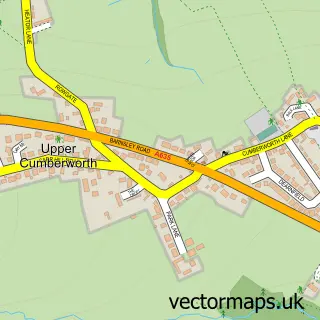
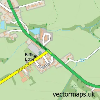
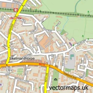
Nearby street map samples around Upper Denby

More street maps in West Yorkshire
750 metre map area coverage
Boundary, postcode and point of interest information for the 750m x 750m rectangle centred on this sample map.
Boundaries containing map centre
Constituency: Ossett and Denby Dale Co Const
District: Kirklees District (B)
Icb: NHS West Yorkshire ICB
Parish: Denby Dale CP
Police Force: west yorkshire
Postcode District: HD8
Postcode Sector: HD8 8
Ward: Denby Dale Ward
Nearby boundaries intersecting sample
Constituency: Penistone and Stocksbridge Co Const
District: Barnsley District (B)
Icb: NHS South Yorkshire ICB
Parish: Gunthwaite and Ingbirchworth CP
Police Force: south yorkshire
Ward: Penistone West Ward
Postcode coverage
POI category counts
Cottage: 2
Alternative Medicine: 1
Church Cathedral: 1
Contractor: 1
Elementary School: 1
Freight And Cargo Service: 1
Gardener: 1
General Dentistry: 1
Home Service: 1
Hotel: 1
Sample points of interest
- Feel Better Fast
- St John The Evangelist Church
- AC Groundworks Driveway Specialist
- Holly Tree Cottage
- Manor Farm Holiday Cottage
- Denby CE - VA First School
- John C Cook
- JWH Landscaping & Fencing
- Upper Denby Dental Care
- Bank Lane Ironing Service
- Manor Farm Cottage
- Feel Better Fast
Create a larger editable map of Upper Denby
This sample shows only a 750 metre area. To create a larger map of Upper Denby, use our map builder to choose your own coverage area, add titles and download editable SVG, PDF and PNG files.
Create a custom map of Upper Denby