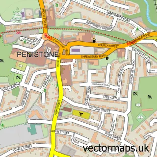
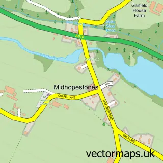
This Thurlstone street map is a detailed vector street map covering a 750m x 750m area. Select a larger area to create and download your own vector street map of Thurlstone.
The 750-metre map sample for Thurlstone covers 308 mapped buildings and approximately 16.3 km of road detail, of which 33 named roads are named. The immediate area includes 1 school, 2 GP surgeries within 2 miles, 2 pubs and 1 MOT station within 2 miles. The wider area around Thurlstone features 1 tourism point of interest, 2 food and drink venues and 2 campsites within 2 miles. To create a larger or custom map of Thurlstone, the map builder lets you define your own coverage area and download editable SVG, PDF and PNG files.
Create a larger editable map of Thurlstone
Choose any area you need and generate a high-quality vector map instantly. Perfect for print, planning, design, business and personal use.

This Thurlstone street map in South Yorkshire is available as downloadable SVG, PDF and PNG map files, or as a printed map for planning, business, display, education, local information and design work. You can also create a larger custom map area using the map selector.
What this Thurlstone map sample shows
Thurlstone lies within Penistone Cp parish, part of Penistone West ward in the Barnsley District (B) local authority area. The postcode geography for this area includes the S postcode area, the S36 postcode district and the S36 9 postcode sector. Residents fall under the Nhs South Yorkshire Integrated Care Board for NHS services.
Local features near Thurlstone
Within 2 milesAmenities and services in and around Thurlstone.
Administrative and postcode information for Thurlstone
Thurlstone lies within Penistone Cp parish, part of Penistone West ward in the Barnsley District (B) local authority area. The postcode geography for this area includes the S postcode area, the S36 postcode district and the S36 9 postcode sector. Residents fall under the Nhs South Yorkshire Integrated Care Board for NHS services.
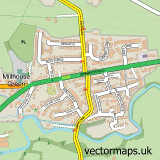
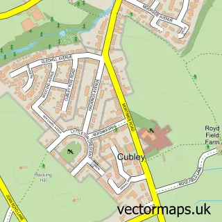
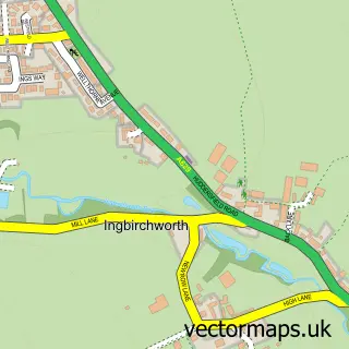
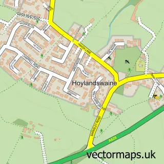
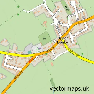
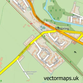
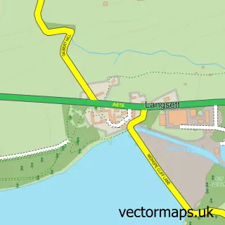
Nearby street map samples around Thurlstone

More street maps in South Yorkshire
750 metre map area coverage
Boundary, postcode and point of interest information for the 750m x 750m rectangle centred on this sample map.
Boundaries containing map centre
Constituency: Penistone and Stocksbridge Co Const
District: Barnsley District (B)
Icb: NHS South Yorkshire ICB
Parish: Penistone CP
Police Force: south yorkshire
Postcode District: S36
Postcode Sector: S36 9
Ward: Penistone West Ward
Nearby boundaries intersecting sample
Postcode Sector: S36 6, S36 7
Postcode coverage
POI category counts
Business Manufacturing And Supply: 2
Pub: 2
Bakery: 1
Building Supply Store: 1
Business Consulting: 1
Campground: 1
Car Wash: 1
Carpenter: 1
Caterer: 1
Church Cathedral: 1
Sample points of interest
- The Little Bakery
- Hills Landscape
- M B Secretarial Services
- James Durrans & Sons Limited
- James Durrans and Sons
- Firth Campers
- Mr Detailer (Mobile Car Valeting) Hand Car Wash & Car Cleaning Services Sheffield
- JSW Joinery
- Dinner Parties by Janine
- Kingdom Hall of Jehovah's Witnesses
- ThinkDry
- Julie Barden Approved Driving Instructor
Create a larger editable map of Thurlstone
This sample shows only a 750 metre area. To create a larger map of Thurlstone, use our map builder to choose your own coverage area, add titles and download editable SVG, PDF and PNG files.
Create a custom map of Thurlstone