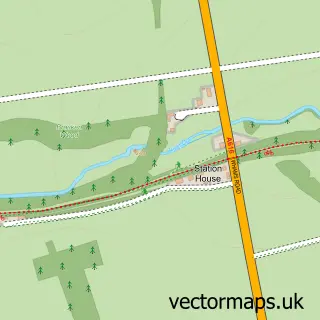
This Langsett street map is a detailed vector street map covering a 750m x 750m area. Select a larger area to create and download your own vector street map of Langsett.
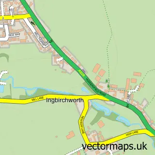
The 750-metre map sample for Langsett covers 40 mapped buildings and approximately 17.7 km of road detail, of which 2 named roads are named. The immediate area includes 2 pubs. The wider area around Langsett features 2 tourism points of interest and 3 food and drink venues. To create a larger or custom map of Langsett, the map builder lets you define your own coverage area and download editable SVG, PDF and PNG files.
Create a larger editable map of Langsett
Choose any area you need and generate a high-quality vector map instantly. Perfect for print, planning, design, business and personal use.

This Langsett street map in South Yorkshire is available as downloadable SVG, PDF and PNG map files, or as a printed map for planning, business, display, education, local information and design work. You can also create a larger custom map area using the map selector.
What this Langsett map sample shows
Langsett lies within Langsett Cp parish, part of Penistone West ward in the Barnsley District (B) local authority area. The postcode geography for this area includes the S postcode area, the S36 postcode district and the S36 4 postcode sector. Residents fall under the Nhs South Yorkshire Integrated Care Board for NHS services.
Local features near Langsett
Within 2 milesAmenities and services in and around Langsett.
Administrative and postcode information for Langsett
Langsett lies within Langsett Cp parish, part of Penistone West ward in the Barnsley District (B) local authority area. The postcode geography for this area includes the S postcode area, the S36 postcode district and the S36 4 postcode sector. Residents fall under the Nhs South Yorkshire Integrated Care Board for NHS services.
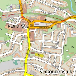
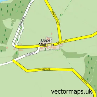
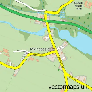
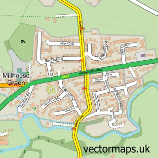
Nearby street map samples around Langsett

More street maps in South Yorkshire
750 metre map area coverage
Boundary, postcode and point of interest information for the 750m x 750m rectangle centred on this sample map.
Boundaries containing map centre
Constituency: Penistone and Stocksbridge Co Const
District: Barnsley District (B)
Icb: NHS South Yorkshire ICB
Parish: Langsett CP
Police Force: south yorkshire
Postcode District: S36
Postcode Sector: S36 4
Ward: Penistone West Ward
Nearby boundaries intersecting sample
District: Sheffield District (B)
Parish: Bradfield CP
Postcode Sector: S36 9
Ward: Stocksbridge & Upper Don Ward
Postcode coverage
POI category counts
Pub: 2
Structure And Geography: 2
Automotive Repair: 1
Cafe: 1
Jewelry Store: 1
Landmark And Historical Building: 1
National Park: 1
Sample points of interest
- Lunar Auto Diagnostics
- Bank View Cafe
- Stirring Silver Jewellery
- Richard Thomas - Bench at Langsett Reservoir
- Peak District National Park
- The Waggon and Horses, Langsett
- Wagon & Horses Langsett
- Langsett Reservoir
- Langsett Reservoir
Create a larger editable map of Langsett
This sample shows only a 750 metre area. To create a larger map of Langsett, use our map builder to choose your own coverage area, add titles and download editable SVG, PDF and PNG files.
Create a custom map of Langsett