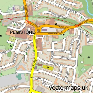
This Cubley street map is a detailed vector street map covering a 750m x 750m area. Select a larger area to create and download your own vector street map of Cubley.
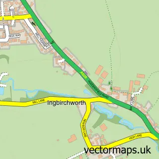
The 750-metre map sample for Cubley covers 330 mapped buildings and approximately 12.6 km of road detail, of which 23 named roads are named. The immediate area includes 2 GP surgeries within 2 miles, 1 pub and 1 MOT station within 2 miles. The wider area around Cubley features 1 tourism point of interest, 1 food and drink venue and 2 campsites within 2 miles. To create a larger or custom map of Cubley, the map builder lets you define your own coverage area and download editable SVG, PDF and PNG files.
Create a larger editable map of Cubley
Choose any area you need and generate a high-quality vector map instantly. Perfect for print, planning, design, business and personal use.

This Cubley street map in South Yorkshire is available as downloadable SVG, PDF and PNG map files, or as a printed map for planning, business, display, education, local information and design work. You can also create a larger custom map area using the map selector.
What this Cubley map sample shows
Cubley lies within Penistone Cp parish, part of Penistone West ward in the Barnsley District (B) local authority area. The postcode geography for this area includes the S postcode area, the S36 postcode district and the S36 6 postcode sector. Residents fall under the Nhs South Yorkshire Integrated Care Board for NHS services.
Local features near Cubley
Within 2 milesAmenities and services in and around Cubley.
Administrative and postcode information for Cubley
The local authority covering Cubley is Barnsley District (B), within the county of South Yorkshire. The settlement lies within Penistone West ward and Penistone Cp civil parish. The S36 postcode district and S36 6 postcode sector serve the immediate area. NHS provision in the area is delivered through Barnsley Hospital Nhs Foundation Trust.
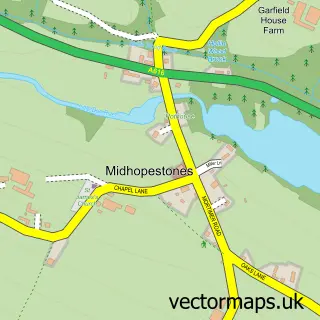
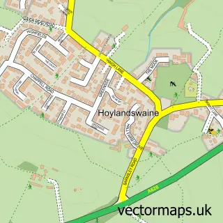
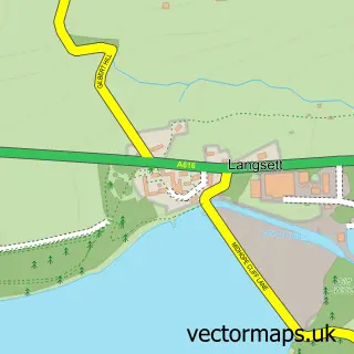
Nearby street map samples around Cubley

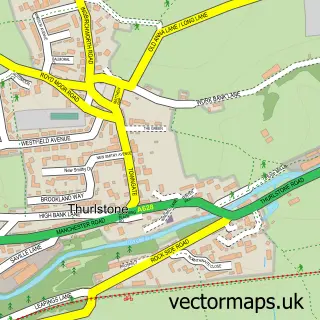
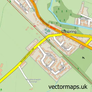
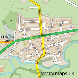
More street maps in South Yorkshire
750 metre map area coverage
Boundary, postcode and point of interest information for the 750m x 750m rectangle centred on this sample map.
Boundaries containing map centre
Constituency: Penistone and Stocksbridge Co Const
District: Barnsley District (B)
Icb: NHS South Yorkshire ICB
Parish: Penistone CP
Police Force: south yorkshire
Postcode District: S36
Postcode Sector: S36 6
Ward: Penistone West Ward
Nearby boundaries intersecting sample
Postcode Sector: S36 9
Postcode coverage
POI category counts
Key And Locksmith: 2
Appraisal Services: 1
Fitness Trainer: 1
Funeral Services And Cemeteries: 1
Industrial Equipment: 1
Landmark And Historical Building: 1
Music School: 1
Preschool: 1
Professional Services: 1
Pub: 1
Sample points of interest
- Omega Laser Services
- JT Personal Training
- Dyson Funeral Service
- JH Milnes Ltd
- Pennine Security Solutions 24hr Locksmiths
- Pennine Security Solutions Ltd.
- Cubley, South Yorkshire
- Naomi Marples at Brook Spout Music Tuition, Penistone.
- Little Ray of Sunshine Daycare
- Adam Galliford Photography
- Cubley Hall
- Lincoln Finance Ltd.
Create a larger editable map of Cubley
This sample shows only a 750 metre area. To create a larger map of Cubley, use our map builder to choose your own coverage area, add titles and download editable SVG, PDF and PNG files.
Create a custom map of Cubley