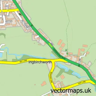
This Hoylandswaine street map is a detailed vector street map covering a 750m x 750m area. Select a larger area to create and download your own vector street map of Hoylandswaine.
The 750-metre map sample for Hoylandswaine covers 313 mapped buildings and approximately 10.4 km of road detail, of which 22 named roads are named. The immediate area includes 2 GP surgeries within 2 miles, 2 pubs and 1 MOT station within 2 miles. The wider area around Hoylandswaine features 1 tourism point of interest, 2 food and drink venues and 2 campsites within 2 miles. To create a larger or custom map of Hoylandswaine, the map builder lets you define your own coverage area and download editable SVG, PDF and PNG files.
Create a larger editable map of Hoylandswaine
Choose any area you need and generate a high-quality vector map instantly. Perfect for print, planning, design, business and personal use.

This Hoylandswaine street map in South Yorkshire is available as downloadable SVG, PDF and PNG map files, or as a printed map for planning, business, display, education, local information and design work. You can also create a larger custom map area using the map selector.
What this Hoylandswaine map sample shows
Hoylandswaine lies within Penistone Cp parish, part of Penistone East ward in the Barnsley District (B) local authority area. The postcode geography for this area includes the S postcode area, the S36 postcode district and the S36 7 postcode sector. Residents fall under the Nhs South Yorkshire Integrated Care Board for NHS services.
Local features near Hoylandswaine
Within 2 milesAmenities and services in and around Hoylandswaine.
Administrative and postcode information for Hoylandswaine
Hoylandswaine lies within Penistone Cp parish, part of Penistone East ward in the Barnsley District (B) local authority area. The postcode geography for this area includes the S postcode area, the S36 postcode district and the S36 7 postcode sector. Residents fall under the Nhs South Yorkshire Integrated Care Board for NHS services.
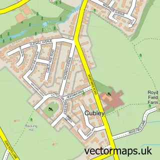
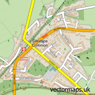
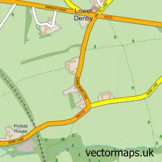
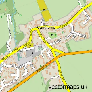
Nearby street map samples around Hoylandswaine
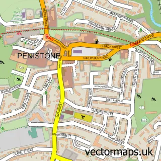

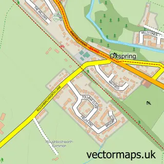
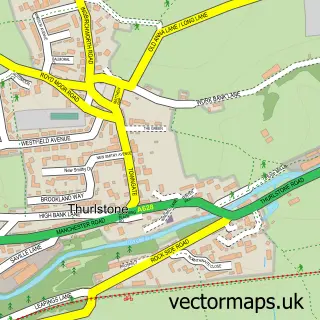
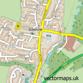
More street maps in South Yorkshire
750 metre map area coverage
Boundary, postcode and point of interest information for the 750m x 750m rectangle centred on this sample map.
Boundaries containing map centre
Constituency: Penistone and Stocksbridge Co Const
District: Barnsley District (B)
Icb: NHS South Yorkshire ICB
Parish: Penistone CP
Police Force: south yorkshire
Postcode District: S36
Postcode Sector: S36 7
Ward: Penistone East Ward
Nearby boundaries intersecting sample
No additional intersecting boundaries found.
Postcode coverage
POI category counts
Electrician: 4
Pub: 2
Sports Club And League: 2
Animal Shelter: 1
Baby Gear And Furniture: 1
Business Management Services: 1
Community Center: 1
Contractor: 1
Driving School: 1
Elementary School: 1
Sample points of interest
- Cliffe Kennels & Rescue
- The Kids Shop
- Pennine Financial Planning
- Hoylandswaine Village Hall
- Linbro Demolition
- A Pass Ahead Driving School
- Norcroft Electrical Ltd Trading as Norcroft Energy
- Norcroft Energy
- Pennine Electrical Services
- Spark Attack
- Hoylandswaine Primary School
- hay2b
Create a larger editable map of Hoylandswaine
This sample shows only a 750 metre area. To create a larger map of Hoylandswaine, use our map builder to choose your own coverage area, add titles and download editable SVG, PDF and PNG files.
Create a custom map of Hoylandswaine