This Ingbirchworth street map is a detailed vector street map covering a 750m x 750m area. Select a larger area to create and download your own vector street map of Ingbirchworth.
The 750-metre map sample for Ingbirchworth covers 148 mapped buildings and approximately 7.3 km of road detail, of which 10 named roads are named. The wider area around Ingbirchworth features 3 tourism points of interest and 1 campsite within 2 miles. To create a larger or custom map of Ingbirchworth, the map builder lets you define your own coverage area and download editable SVG, PDF and PNG files.
Create a larger editable map of Ingbirchworth
Choose any area you need and generate a high-quality vector map instantly. Perfect for print, planning, design, business and personal use.

This Ingbirchworth street map in South Yorkshire is available as downloadable SVG, PDF and PNG map files, or as a printed map for planning, business, display, education, local information and design work. You can also create a larger custom map area using the map selector.
What this Ingbirchworth map sample shows
Ingbirchworth lies within Gunthwaite And Ingbirchworth Cp parish, part of Penistone West ward in the Barnsley District (B) local authority area. The postcode geography for this area includes the S postcode area, the S36 postcode district and the S36 7 postcode sector. Residents fall under the Nhs South Yorkshire Integrated Care Board for NHS services.
Local features near Ingbirchworth
Within 2 milesAmenities and services in and around Ingbirchworth.
Administrative and postcode information for Ingbirchworth
The local authority covering Ingbirchworth is Barnsley District (B), within the county of South Yorkshire. The settlement lies within Penistone West ward and Gunthwaite And Ingbirchworth Cp civil parish. The S36 postcode district and S36 7 postcode sector serve the immediate area. NHS provision in the area is delivered through Barnsley Hospital Nhs Foundation Trust.
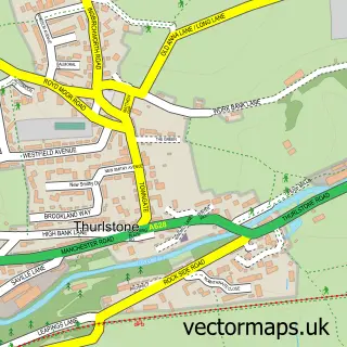
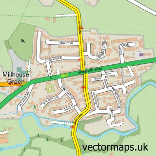
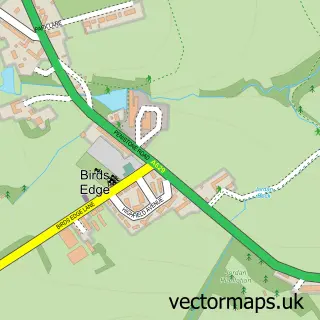
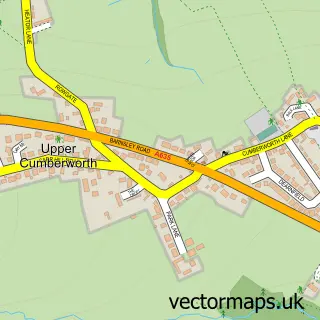
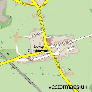
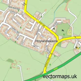
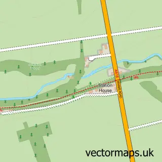
Nearby street map samples around Ingbirchworth
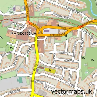

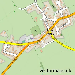
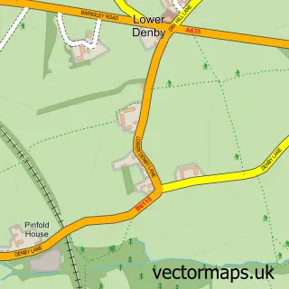
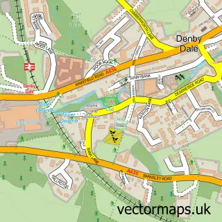
More street maps in South Yorkshire
750 metre map area coverage
Boundary, postcode and point of interest information for the 750m x 750m rectangle centred on this sample map.
Boundaries containing map centre
Constituency: Penistone and Stocksbridge Co Const
District: Barnsley District (B)
Icb: NHS South Yorkshire ICB
Parish: Gunthwaite and Ingbirchworth CP
Police Force: south yorkshire
Postcode District: S36
Postcode Sector: S36 7
Ward: Penistone West Ward
Nearby boundaries intersecting sample
No additional intersecting boundaries found.
Postcode coverage
POI category counts
Campground: 2
Books Mags Music And Video: 1
Convenience Store: 1
Dog Walkers: 1
Education: 1
Limo Services: 1
Park: 1
Retail: 1
Security Services: 1
Sample points of interest
- J A & M Holmes
- Ingfield Farm
- Ingfield Farm Camping and Caravan Site
- Holmes J A & M
- Jane Walks Dogs
- Kingswood Peak Venture
- Lauras Vintage Limousines
- Ingbirchworth Picnic Park
- Yorkshire Fuels
- Lets Talk Mortgages
Create a larger editable map of Ingbirchworth
This sample shows only a 750 metre area. To create a larger map of Ingbirchworth, use our map builder to choose your own coverage area, add titles and download editable SVG, PDF and PNG files.
Create a custom map of Ingbirchworth