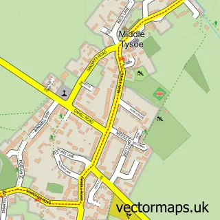
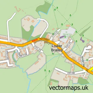
This Upper Tysoe street map is a detailed vector street map covering a 750m x 750m area. Select a larger area to create and download your own vector street map of Upper Tysoe.
The 750-metre map sample for Upper Tysoe covers 206 mapped buildings and approximately 20.8 km of road detail, of which 16 named roads are named. The wider area around Upper Tysoe features 1 tourism point of interest and 1 campsite within 2 miles. To create a larger or custom map of Upper Tysoe, the map builder lets you define your own coverage area and download editable SVG, PDF and PNG files.
Create a larger editable map of Upper Tysoe
Choose any area you need and generate a high-quality vector map instantly. Perfect for print, planning, design, business and personal use.

This Upper Tysoe street map in Warwickshire is available as downloadable SVG, PDF and PNG map files, or as a printed map for planning, business, display, education, local information and design work. You can also create a larger custom map area using the map selector.
What this Upper Tysoe map sample shows
Upper Tysoe lies within Tysoe Cp parish, part of Red Horse ward in the Stratford-On-Avon District local authority area. The postcode geography for this area includes the CV postcode area, the CV35 postcode district and the CV35 0 postcode sector. Residents fall under the Nhs Coventry And Warwickshire Integrated Care Board for NHS services.
Local features near Upper Tysoe
Within 2 milesAmenities and services in and around Upper Tysoe.
Administrative and postcode information for Upper Tysoe
The local authority covering Upper Tysoe is Stratford-On-Avon District, within the county of Warwickshire. The settlement lies within Red Horse ward and Tysoe Cp civil parish. The CV35 postcode district and CV35 0 postcode sector serve the immediate area. NHS provision in the area is delivered through South Warwickshire University Nhs Foundation Trust.
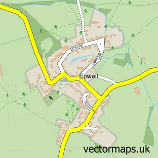
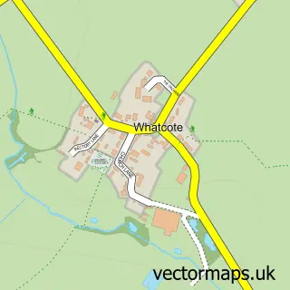
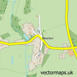
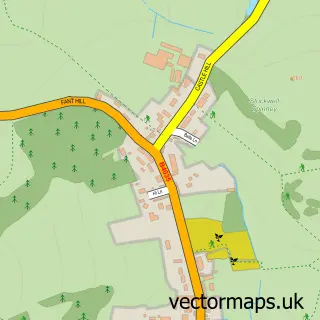
Nearby street map samples around Upper Tysoe

More street maps in Warwickshire
750 metre map area coverage
Boundary, postcode and point of interest information for the 750m x 750m rectangle centred on this sample map.
Boundaries containing map centre
Constituency: Kenilworth and Southam Co Const
County: Warwickshire County
District: Stratford-on-Avon District
Icb: NHS Coventry and Warwickshire ICB
Parish: Tysoe CP
Police Force: warwickshire
Postcode District: CV35
Postcode Sector: CV35 0
Ward: Tysoe Ward
Nearby boundaries intersecting sample
Postcode District: OX15
Postcode Sector: OX15 6
Postcode coverage
POI category counts
Landscaping: 2
Professional Services: 2
Alternative Medicine: 1
Car Rental Agency: 1
Child Care And Day Care: 1
Electrician: 1
Holiday Rental Home: 1
Landmark And Historical Building: 1
Laundry Services: 1
Pet Groomer: 1
Sample points of interest
- Swan Holistics
- Graceful Wedding Cars
- Richards & Reeve
- K G Brooks Electrical Contractor
- Vale of the Red Horse Shepherd Huts
- Upper Tysoe
- Blackbird Landscapes
- M B Wigram Groundwork
- J.I Carpets & Upholstery Cleaning
- The Dog Bath
- Winchcombe Farm
- Barking Mad Banbury
Create a larger editable map of Upper Tysoe
This sample shows only a 750 metre area. To create a larger map of Upper Tysoe, use our map builder to choose your own coverage area, add titles and download editable SVG, PDF and PNG files.
Create a custom map of Upper Tysoe