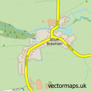
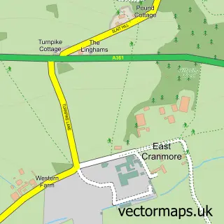
This Upton Noble street map is a detailed vector street map covering a 750m x 750m area. Select a larger area to create and download your own vector street map of Upton Noble.
The 750-metre map sample for Upton Noble covers 89 mapped buildings and approximately 10.4 km of road detail, of which 10 named roads are named. The immediate area includes 1 school and 1 MOT station, with 2 within 2 miles. To create a larger or custom map of Upton Noble, the map builder lets you define your own coverage area and download editable SVG, PDF and PNG files.
Create a larger editable map of Upton Noble
Choose any area you need and generate a high-quality vector map instantly. Perfect for print, planning, design, business and personal use.

This Upton Noble street map in Somerset is available as downloadable SVG, PDF and PNG map files, or as a printed map for planning, business, display, education, local information and design work. You can also create a larger custom map area using the map selector.
What this Upton Noble map sample shows
Upton Noble lies within Upton Noble Cp parish, part of Postlebury ward in the Somerset local authority area. The postcode geography for this area includes the BA postcode area, the BA4 postcode district and the BA4 6 postcode sector. Residents fall under the Nhs Somerset Integrated Care Board for NHS services.
Local features near Upton Noble
Within 2 milesAmenities and services in and around Upton Noble.
Administrative and postcode information for Upton Noble
Upton Noble lies within Upton Noble Cp parish, part of Postlebury ward in the Somerset local authority area. The postcode geography for this area includes the BA postcode area, the BA4 postcode district and the BA4 6 postcode sector. Residents fall under the Nhs Somerset Integrated Care Board for NHS services.
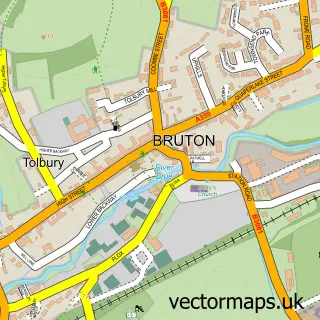
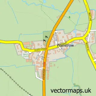
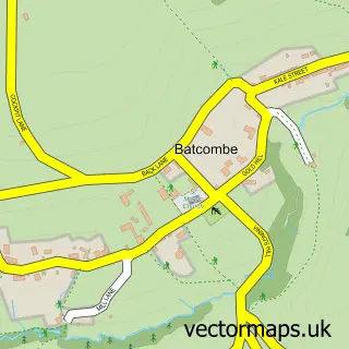
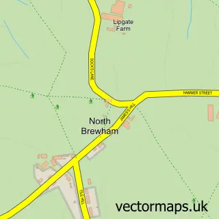
Nearby street map samples around Upton Noble

More street maps in Somerset
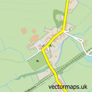
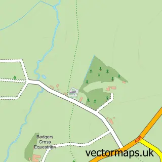
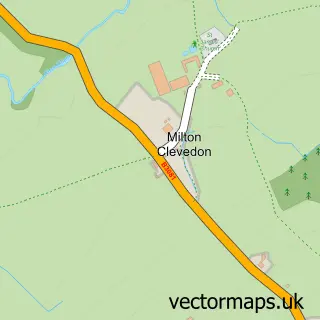
750 metre map area coverage
Boundary, postcode and point of interest information for the 750m x 750m rectangle centred on this sample map.
Boundaries containing map centre
Constituency: Frome and East Somerset Co Const
District: Somerset
Icb: NHS Somerset ICB
Parish: Upton Noble CP
Police Force: avon and somerset
Postcode District: BA4
Postcode Sector: BA4 6
Nearby boundaries intersecting sample
Parish: Witham Friary CP
Postcode coverage
POI category counts
Elementary School: 2
Anglican Church: 1
Art Gallery: 1
Bed And Breakfast: 1
Carpenter: 1
Caterer: 1
Preschool: 1
Veterinarian: 1
Sample points of interest
- St Mary Magdalene
- Toshidama Gallery
- Higher Farm Bed & Breakfast
- McCulloch Furniture
- Upton Noble Village Hall
- Upton Noble C of E V C Primary School
- Upton Noble Primary School
- The Tree House Pre-School
- The Noble Dog Hotel & Day Care
Create a larger editable map of Upton Noble
This sample shows only a 750 metre area. To create a larger map of Upton Noble, use our map builder to choose your own coverage area, add titles and download editable SVG, PDF and PNG files.
Create a custom map of Upton Noble