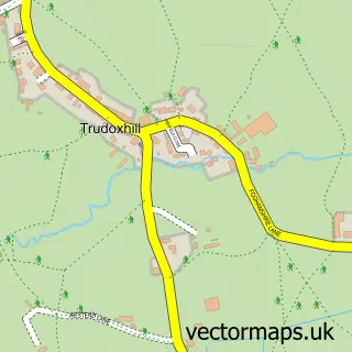
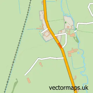
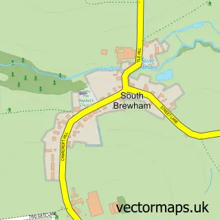
This Witham Friary street map is a detailed vector street map covering a 750m x 750m area. Select a larger area to create and download your own vector street map of Witham Friary.
The 750-metre map sample for Witham Friary covers 69 mapped buildings and approximately 4.2 km of road detail, of which 1 named road are named. The immediate area includes 1 pub. The wider area around Witham Friary features 1 food and drink venue and 1 hotel. To create a larger or custom map of Witham Friary, the map builder lets you define your own coverage area and download editable SVG, PDF and PNG files.
Create a larger editable map of Witham Friary
Choose any area you need and generate a high-quality vector map instantly. Perfect for print, planning, design, business and personal use.

This Witham Friary street map in Somerset is available as downloadable SVG, PDF and PNG map files, or as a printed map for planning, business, display, education, local information and design work. You can also create a larger custom map area using the map selector.
What this Witham Friary map sample shows
Witham Friary lies within Witham Friary Cp parish, part of Postlebury ward in the Somerset local authority area. The postcode geography for this area includes the BA postcode area, the BA11 postcode district and the BA11 5 postcode sector. Residents fall under the Nhs Somerset Integrated Care Board for NHS services.
Local features near Witham Friary
Within 2 milesAmenities and services in and around Witham Friary.
Administrative and postcode information for Witham Friary
The local authority covering Witham Friary is Somerset, within the county of Somerset. The settlement lies within Postlebury ward and Witham Friary Cp civil parish. The BA11 postcode district and BA11 5 postcode sector serve the immediate area. NHS provision in the area is delivered through Royal United Hospitals Bath Nhs Foundation Trust.
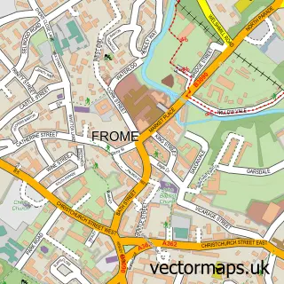
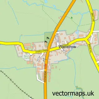
Nearby street map samples around Witham Friary

More street maps in Somerset
750 metre map area coverage
Boundary, postcode and point of interest information for the 750m x 750m rectangle centred on this sample map.
Boundaries containing map centre
Constituency: Frome and East Somerset Co Const
District: Somerset
Icb: NHS Somerset ICB
Parish: Witham Friary CP
Police Force: avon and somerset
Postcode District: BA11
Postcode Sector: BA11 5
Nearby boundaries intersecting sample
No additional intersecting boundaries found.
Postcode coverage
POI category counts
Post Office: 2
Professional Services: 2
Amateur Sports Team: 1
Anglican Church: 1
Architect: 1
Arts And Entertainment: 1
Church Cathedral: 1
Hotel: 1
Landscaping: 1
Physical Therapy: 1
Sample points of interest
- Witham Friary Cricket Club
- BVM, St John the Baptist & All Saints, Witham Frairy
- Architect Your Home
- Wookey Hole Caves
- Church of St Mary, Witham Friary
- Barstow Towers
- Efa Construction Ltd
- Body in Motion Rehab
- Witham Friary Playground
- Post Office-Witham Friary
- Witham Friary Post Office
- Roger Barnes Architecte
Create a larger editable map of Witham Friary
This sample shows only a 750 metre area. To create a larger map of Witham Friary, use our map builder to choose your own coverage area, add titles and download editable SVG, PDF and PNG files.
Create a custom map of Witham Friary