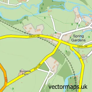
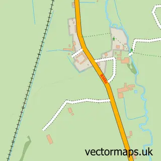
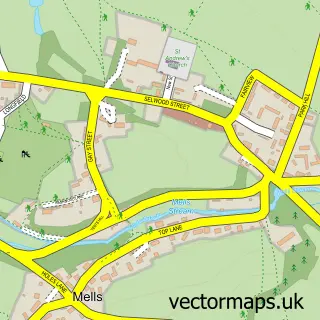
This Frome street map is a detailed vector street map covering a 750m x 750m area. Select a larger area to create and download your own vector street map of Frome.
The 750-metre map sample for Frome covers 374 mapped buildings and approximately 19.7 km of road detail, of which 59 named roads are named. The immediate area includes 5 schools, 1 GP surgery within 2 miles, 12 pubs and 1 MOT station, with 13 within 2 miles. The wider area around Frome features 5 tourism points of interest, 39 food and drink venues and 2 hotels. To create a larger or custom map of Frome, the map builder lets you define your own coverage area and download editable SVG, PDF and PNG files.
Create a larger editable map of Frome
Choose any area you need and generate a high-quality vector map instantly. Perfect for print, planning, design, business and personal use.

This Frome street map in Somerset is available as downloadable SVG, PDF and PNG map files, or as a printed map for planning, business, display, education, local information and design work. You can also create a larger custom map area using the map selector.
What this Frome map sample shows
Frome lies within Frome Cp parish, part of Frome Market ward in the Somerset local authority area. The postcode geography for this area includes the BA postcode area, the BA11 postcode district and the BA11 1 postcode sector. Residents fall under the Nhs Somerset Integrated Care Board for NHS services.
Local features near Frome
Within 2 milesAmenities and services in and around Frome.
Administrative and postcode information for Frome
Frome lies within Frome Cp parish, part of Frome Market ward in the Somerset local authority area. The postcode geography for this area includes the BA postcode area, the BA11 postcode district and the BA11 1 postcode sector. Residents fall under the Nhs Somerset Integrated Care Board for NHS services.
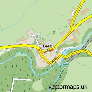
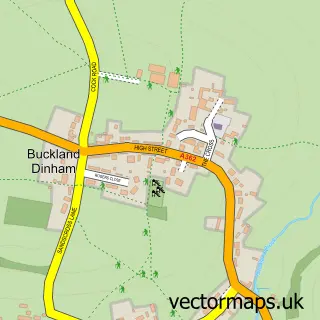
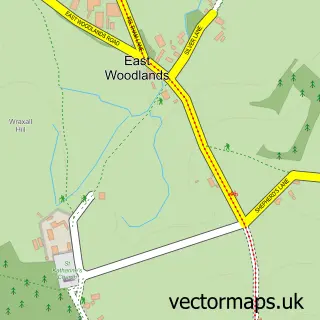
Nearby street map samples around Frome

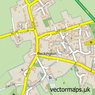
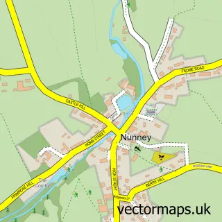
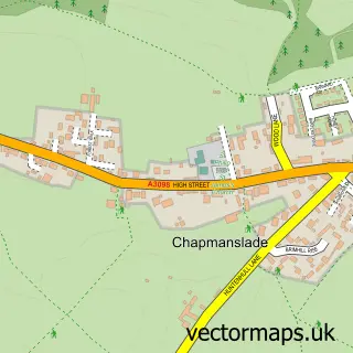
More street maps in Somerset
750 metre map area coverage
Boundary, postcode and point of interest information for the 750m x 750m rectangle centred on this sample map.
Boundaries containing map centre
Constituency: Frome and East Somerset Co Const
District: Somerset
Icb: NHS Somerset ICB
Parish: Frome CP
Police Force: avon and somerset
Postcode District: BA11
Postcode Sector: BA11 1
Nearby boundaries intersecting sample
Postcode Sector: BA11 2, BA11 3
Postcode coverage
POI category counts
Cafe: 15
Clothing Store: 15
Hair Salon: 14
Professional Services: 13
Art Gallery: 12
Pub: 12
Acupuncture: 11
Charity Organization: 10
Flowers And Gifts Shop: 10
Gift Shop: 10
Sample points of interest
- The Coachhouse
- Biznus Payroll
- Short Accountancy LTD
- Live 2 Ride Ltd.
- Acupuncture Plus
- Acupunture 4 Me
- Becky Lovell Accupuncture
- Charlotte Conwy Acupuncture
- Element Healthcare
- Element Healthcare - Acupuncture & Chinese Medicine - Frome, Somerset
- Frome Massage
- Keith Ferris Acupuncture
Create a larger editable map of Frome
This sample shows only a 750 metre area. To create a larger map of Frome, use our map builder to choose your own coverage area, add titles and download editable SVG, PDF and PNG files.
Create a custom map of Frome