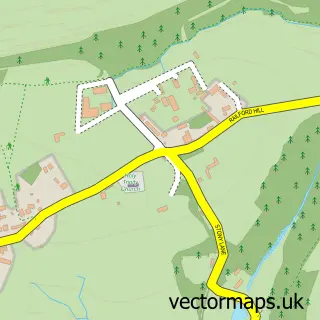
This Mells street map is a detailed vector street map covering a 750m x 750m area. Select a larger area to create and download your own vector street map of Mells.
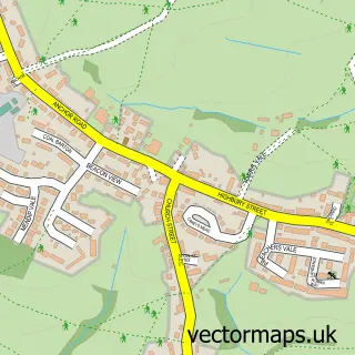
The 750-metre map sample for Mells covers 143 mapped buildings and approximately 15.5 km of road detail, of which 10 named roads are named. The immediate area includes 1 pub and 1 MOT station within 2 miles. The wider area around Mells features 2 tourism points of interest, 4 food and drink venues and 1 campsite within 2 miles. To create a larger or custom map of Mells, the map builder lets you define your own coverage area and download editable SVG, PDF and PNG files.
Create a larger editable map of Mells
Choose any area you need and generate a high-quality vector map instantly. Perfect for print, planning, design, business and personal use.

This Mells street map in Somerset is available as downloadable SVG, PDF and PNG map files, or as a printed map for planning, business, display, education, local information and design work. You can also create a larger custom map area using the map selector.
What this Mells map sample shows
Mells lies within Mells Cp parish, part of Ammerdown ward in the Somerset local authority area. The postcode geography for this area includes the BA postcode area, the BA11 postcode district and the BA11 3 postcode sector. Residents fall under the Nhs Somerset Integrated Care Board for NHS services.
Local features near Mells
Within 2 milesAmenities and services in and around Mells.
Administrative and postcode information for Mells
Mells lies within Mells Cp parish, part of Ammerdown ward in the Somerset local authority area. The postcode geography for this area includes the BA postcode area, the BA11 postcode district and the BA11 3 postcode sector. Residents fall under the Nhs Somerset Integrated Care Board for NHS services.
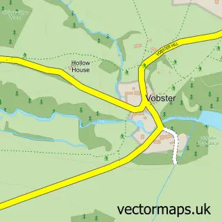
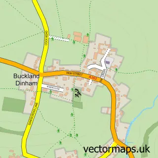
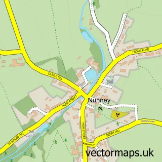
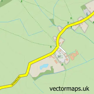
Nearby street map samples around Mells

More street maps in Somerset
750 metre map area coverage
Boundary, postcode and point of interest information for the 750m x 750m rectangle centred on this sample map.
Boundaries containing map centre
Constituency: Frome and East Somerset Co Const
District: Somerset
Icb: NHS Somerset ICB
Parish: Mells CP
Police Force: avon and somerset
Postcode District: BA11
Postcode Sector: BA11 3
Nearby boundaries intersecting sample
No additional intersecting boundaries found.
Postcode coverage
POI category counts
Advertising Agency: 3
Church Cathedral: 3
Cafe: 2
Monument: 2
Alternative Medicine: 1
Anglican Church: 1
Automotive Parts And Accessories: 1
Building Contractor: 1
Business: 1
Business Consulting: 1
Sample points of interest
- Mercer Design
- Smiths
- Space Creative Partnership
- Harmonious Living
- St Andrew
- Defender Depot
- Alan P Gardiner
- South West Transcriptions
- Triple Rock
- Post Office-Mells
- Mells Cafe
- The Walled Garden at Mells
Create a larger editable map of Mells
This sample shows only a 750 metre area. To create a larger map of Mells, use our map builder to choose your own coverage area, add titles and download editable SVG, PDF and PNG files.
Create a custom map of Mells