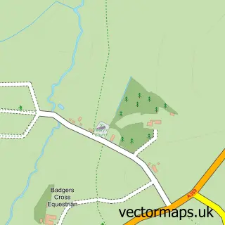
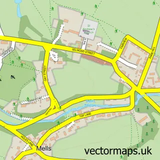
This Nunney street map is a detailed vector street map covering a 750m x 750m area. Select a larger area to create and download your own vector street map of Nunney.
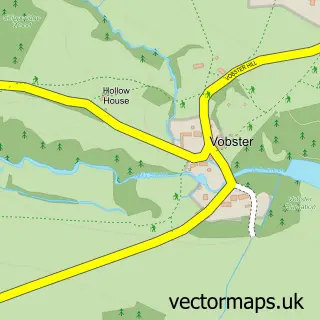
The 750-metre map sample for Nunney covers 155 mapped buildings and approximately 9.0 km of road detail, of which 12 named roads are named. The wider area around Nunney features 3 tourism points of interest, 3 food and drink venues and 2 campsites within 2 miles. To create a larger or custom map of Nunney, the map builder lets you define your own coverage area and download editable SVG, PDF and PNG files.
Create a larger editable map of Nunney
Choose any area you need and generate a high-quality vector map instantly. Perfect for print, planning, design, business and personal use.

This Nunney street map in Somerset is available as downloadable SVG, PDF and PNG map files, or as a printed map for planning, business, display, education, local information and design work. You can also create a larger custom map area using the map selector.
What this Nunney map sample shows
Nunney lies within Nunney Cp parish, part of Cranmore, Doulting And Nunney ward in the Somerset local authority area. The postcode geography for this area includes the BA postcode area, the BA11 postcode district and the BA11 4 postcode sector. Residents fall under the Nhs Somerset Integrated Care Board for NHS services.
Local features near Nunney
Within 2 milesAmenities and services in and around Nunney.
Administrative and postcode information for Nunney
The local authority covering Nunney is Somerset, within the county of Somerset. The settlement lies within Cranmore, Doulting And Nunney ward and Nunney Cp civil parish. The BA11 postcode district and BA11 4 postcode sector serve the immediate area. NHS provision in the area is delivered through Royal United Hospitals Bath Nhs Foundation Trust.
Nearby street map samples around Nunney

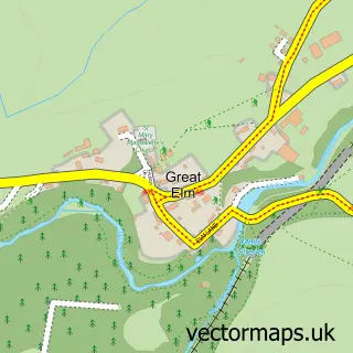
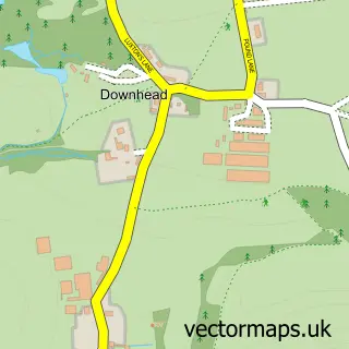
More street maps in Somerset
750 metre map area coverage
Boundary, postcode and point of interest information for the 750m x 750m rectangle centred on this sample map.
Boundaries containing map centre
Constituency: Frome and East Somerset Co Const
District: Somerset
Icb: NHS Somerset ICB
Parish: Nunney CP
Police Force: avon and somerset
Postcode District: BA11
Postcode Sector: BA11 4
Nearby boundaries intersecting sample
No additional intersecting boundaries found.
Postcode coverage
POI category counts
Business Management Services: 3
Cafe: 3
Post Office: 3
Bed And Breakfast: 2
Church Cathedral: 2
Advertising Agency: 1
Anglican Church: 1
Arts And Crafts: 1
Attractions And Activities: 1
Building Supply Store: 1
Sample points of interest
- Russells Barton Communications
- All Saints, Nunney
- Somerset Ceramics
- Nunney Castle
- Cherry Tree Farm Bed and Breakfast
- Stay at Penny's Mill
- M King Roofing
- Be Astute Ltd.
- Bill Davies
- William Davies
- Cafe De La Mere Nunney
- Nunney Village
Create a larger editable map of Nunney
This sample shows only a 750 metre area. To create a larger map of Nunney, use our map builder to choose your own coverage area, add titles and download editable SVG, PDF and PNG files.
Create a custom map of Nunney