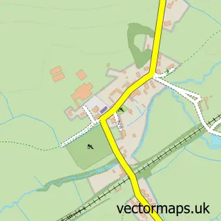
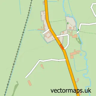
This Trudoxhill street map is a detailed vector street map covering a 750m x 750m area. Select a larger area to create and download your own vector street map of Trudoxhill.
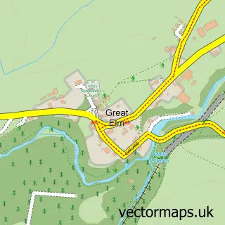
The 750-metre map sample for Trudoxhill covers 106 mapped buildings and approximately 5.9 km of road detail, of which 4 named roads are named. The immediate area includes 1 pub. The wider area around Trudoxhill features 1 food and drink venue. To create a larger or custom map of Trudoxhill, the map builder lets you define your own coverage area and download editable SVG, PDF and PNG files.
Create a larger editable map of Trudoxhill
Choose any area you need and generate a high-quality vector map instantly. Perfect for print, planning, design, business and personal use.

This Trudoxhill street map in Somerset is available as downloadable SVG, PDF and PNG map files, or as a printed map for planning, business, display, education, local information and design work. You can also create a larger custom map area using the map selector.
What this Trudoxhill map sample shows
Trudoxhill lies within Trudoxhill Cp parish, part of Postlebury ward in the Somerset local authority area. The postcode geography for this area includes the BA postcode area, the BA11 postcode district and the BA11 5 postcode sector. Residents fall under the Nhs Somerset Integrated Care Board for NHS services.
Local features near Trudoxhill
Within 2 milesAmenities and services in and around Trudoxhill.
Administrative and postcode information for Trudoxhill
Trudoxhill lies within Trudoxhill Cp parish, part of Postlebury ward in the Somerset local authority area. The postcode geography for this area includes the BA postcode area, the BA11 postcode district and the BA11 5 postcode sector. Residents fall under the Nhs Somerset Integrated Care Board for NHS services.
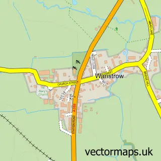
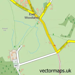
Nearby street map samples around Trudoxhill

More street maps in Somerset
750 metre map area coverage
Boundary, postcode and point of interest information for the 750m x 750m rectangle centred on this sample map.
Boundaries containing map centre
Constituency: Frome and East Somerset Co Const
District: Somerset
Icb: NHS Somerset ICB
Parish: Trudoxhill CP
Police Force: avon and somerset
Postcode District: BA11
Postcode Sector: BA11 5
Nearby boundaries intersecting sample
No additional intersecting boundaries found.
Postcode coverage
POI category counts
Beauty And Spa: 3
Professional Services: 2
Bar: 1
Bed And Breakfast: 1
Electrician: 1
Home Cleaning: 1
Medical Service Organizations: 1
Pub: 1
Sample points of interest
- Whitehart Inn
- House Of Beauty By SB
- KB Aesthetics
- The Spruce
- The Place To Stay
- Fushi Electrical
- Sunlight Cleaning Limited
- Shield Sports Therapy
- Armour Heritage
- JCMS Consulting
- The White Hart
Create a larger editable map of Trudoxhill
This sample shows only a 750 metre area. To create a larger map of Trudoxhill, use our map builder to choose your own coverage area, add titles and download editable SVG, PDF and PNG files.
Create a custom map of Trudoxhill