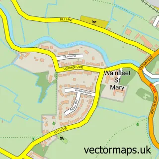
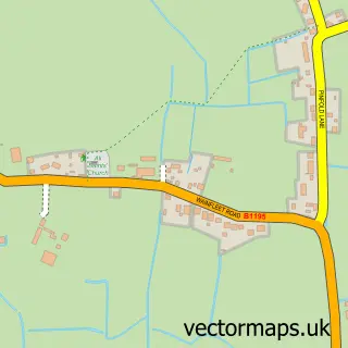
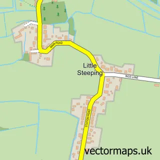
This Wainfleet All Saints street map is a detailed vector street map covering a 750m x 750m area. Select a larger area to create and download your own vector street map of Wainfleet All Saints.
The 750-metre map sample for Wainfleet All Saints covers 375 mapped buildings and approximately 14.7 km of road detail, of which 30 named roads are named. The immediate area includes 1 school, 1 railway station, 1 pub and 1 MOT station within 2 miles. The wider area around Wainfleet All Saints features 3 tourism points of interest, 2 food and drink venues and 1 campsite within 2 miles. To create a larger or custom map of Wainfleet All Saints, the map builder lets you define your own coverage area and download editable SVG, PDF and PNG files.
Create a larger editable map of Wainfleet All Saints
Choose any area you need and generate a high-quality vector map instantly. Perfect for print, planning, design, business and personal use.

This Wainfleet All Saints street map in Lincolnshire is available as downloadable SVG, PDF and PNG map files, or as a printed map for planning, business, display, education, local information and design work. You can also create a larger custom map area using the map selector.
What this Wainfleet All Saints map sample shows
Wainfleet All Saints lies within Wainfleet All Saints Cp parish, part of Wainfleet ward in the East Lindsey District local authority area. The postcode geography for this area includes the PE postcode area, the PE24 postcode district and the PE24 4 postcode sector. Residents fall under the Nhs Lincolnshire Integrated Care Board for NHS services.
Local features near Wainfleet All Saints
Within 2 milesAmenities and services in and around Wainfleet All Saints.
Administrative and postcode information for Wainfleet All Saints
Wainfleet All Saints lies within Wainfleet All Saints Cp parish, part of Wainfleet ward in the East Lindsey District local authority area. The postcode geography for this area includes the PE postcode area, the PE24 postcode district and the PE24 4 postcode sector. Residents fall under the Nhs Lincolnshire Integrated Care Board for NHS services.
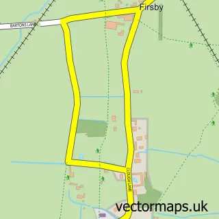
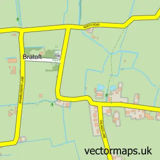
Nearby street map samples around Wainfleet All Saints

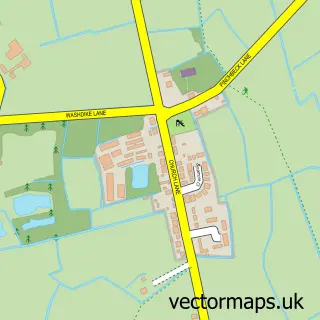
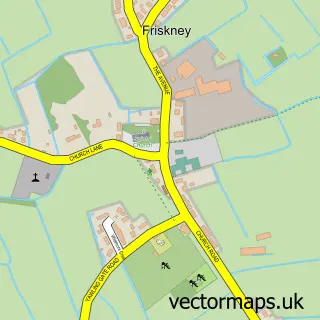
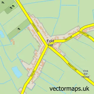
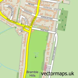
More street maps in Lincolnshire
750 metre map area coverage
Boundary, postcode and point of interest information for the 750m x 750m rectangle centred on this sample map.
Boundaries containing map centre
Constituency: Boston and Skegness Co Const
County: Lincolnshire County
District: East Lindsey District
Icb: NHS Lincolnshire ICB
Parish: Wainfleet All Saints CP
Police Force: lincolnshire
Postcode District: PE24
Postcode Sector: PE24 4
Ward: Wainfleet Ward
Nearby boundaries intersecting sample
Parish: Croft CP, Wainfleet St. Mary CP
Ward: Croft Ward
Postcode coverage
POI category counts
Park: 3
Post Office: 3
Train Station: 3
Antique Store: 2
Bar: 2
Beer Garden: 2
Elementary School: 2
Fish And Chips Restaurant: 2
Library: 2
Active Life: 1
Sample points of interest
- Wainfleet Bike Night
- Neil Straker Creative
- From Alsace
- Fromalsace
- The Cooperative Food (BF) Wainfleet (ERF), Wainfleet All Saints
- Naylor's Auctions
- Angel Inn
- The Angel Inn
- Nail & Brow Bar Wainfleet
- Snips 'n' clips hair design
- The Angel Inn & Peacock Lounge Wainfleet
- Woolpack Wainfleet
Create a larger editable map of Wainfleet All Saints
This sample shows only a 750 metre area. To create a larger map of Wainfleet All Saints, use our map builder to choose your own coverage area, add titles and download editable SVG, PDF and PNG files.
Create a custom map of Wainfleet All Saints