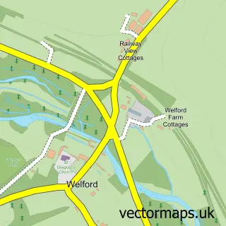
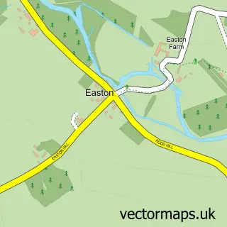
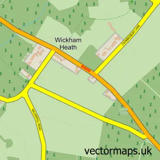
This Weston street map is a detailed vector street map covering a 750m x 750m area. Select a larger area to create and download your own vector street map of Weston.
The 750-metre map sample for Weston covers 64 mapped buildings and approximately 5.6 km of road detail, of which 2 named roads are named. The immediate area includes 1 MOT station within 2 miles. The wider area around Weston features 1 tourism point of interest. To create a larger or custom map of Weston, the map builder lets you define your own coverage area and download editable SVG, PDF and PNG files.
Create a larger editable map of Weston
Choose any area you need and generate a high-quality vector map instantly. Perfect for print, planning, design, business and personal use.

This Weston street map in Berkshire is available as downloadable SVG, PDF and PNG map files, or as a printed map for planning, business, display, education, local information and design work. You can also create a larger custom map area using the map selector.
What this Weston map sample shows
Weston lies within Welford Cp parish, part of Hungerford & Kintbury ward in the West Berkshire local authority area. The postcode geography for this area includes the RG postcode area, the RG20 postcode district and the RG20 8 postcode sector. Residents fall under the Nhs Buckinghamshire, Oxfordshire And Berkshire West Integrated Care Board for NHS services.
Local features near Weston
Within 2 milesAmenities and services in and around Weston.
Administrative and postcode information for Weston
The local authority covering Weston is West Berkshire, within the county of Berkshire. The settlement lies within Hungerford & Kintbury ward and Welford Cp civil parish. The RG20 postcode district and RG20 8 postcode sector serve the immediate area. NHS provision in the area is delivered through Great Western Hospitals Nhs Foundation Trust.
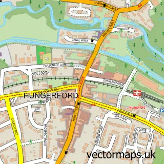
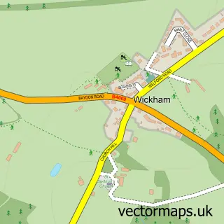
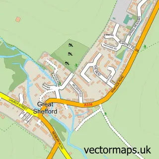
Nearby street map samples around Weston

More street maps in Berkshire
750 metre map area coverage
Boundary, postcode and point of interest information for the 750m x 750m rectangle centred on this sample map.
Boundaries containing map centre
Constituency: Newbury Co Const
District: West Berkshire
Icb: NHS Thames Valley ICB
Parish: Welford CP
Police Force: thames valley
Postcode District: RG20
Postcode Sector: RG20 8
Ward: Hungerford & Kintbury Ward
Nearby boundaries intersecting sample
No additional intersecting boundaries found.
Postcode coverage
POI category counts
Alternative Medicine: 1
Fashion Accessories Store: 1
Fishing Club: 1
Funeral Services And Cemeteries: 1
It Service And Computer Repair: 1
Landmark And Historical Building: 1
Marketing Consultant: 1
Pet Groomer: 1
Sample points of interest
- Anthea Forde
- Car-Boot Box
- Weston Farm Fishery
- Simon Hodkin Humanist Funerals and Namings
- Kahootz
- Weston
- Kynetec
- Willows grooming tails
Create a larger editable map of Weston
This sample shows only a 750 metre area. To create a larger map of Weston, use our map builder to choose your own coverage area, add titles and download editable SVG, PDF and PNG files.
Create a custom map of Weston