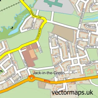
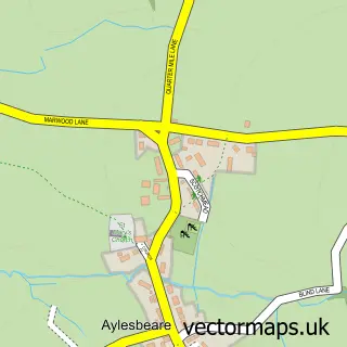
This Whimple street map is a detailed vector street map covering a 750m x 750m area. Select a larger area to create and download your own vector street map of Whimple.
The 750-metre map sample for Whimple covers 339 mapped buildings and approximately 12.1 km of road detail, of which 15 named roads are named. The immediate area includes 1 school, 1 railway station, 3 pubs and 1 MOT station within 2 miles. The wider area around Whimple features 2 tourism points of interest and 3 food and drink venues. To create a larger or custom map of Whimple, the map builder lets you define your own coverage area and download editable SVG, PDF and PNG files.
Create a larger editable map of Whimple
Choose any area you need and generate a high-quality vector map instantly. Perfect for print, planning, design, business and personal use.

This Whimple street map in Devon is available as downloadable SVG, PDF and PNG map files, or as a printed map for planning, business, display, education, local information and design work. You can also create a larger custom map area using the map selector.
What this Whimple map sample shows
Whimple lies within Whimple Cp parish, part of Whimple & Rockbeare ward in the East Devon District local authority area. The postcode geography for this area includes the EX postcode area, the EX5 postcode district and the EX5 2 postcode sector. Residents fall under the Nhs Devon Integrated Care Board for NHS services.
Local features near Whimple
Within 2 milesAmenities and services in and around Whimple.
Administrative and postcode information for Whimple
Whimple lies within Whimple Cp parish, part of Whimple & Rockbeare ward in the East Devon District local authority area. The postcode geography for this area includes the EX postcode area, the EX5 postcode district and the EX5 2 postcode sector. Residents fall under the Nhs Devon Integrated Care Board for NHS services.
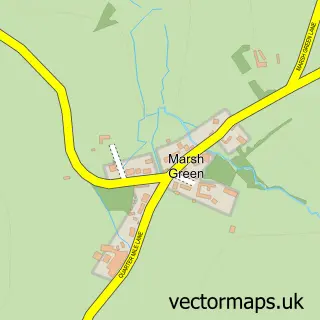
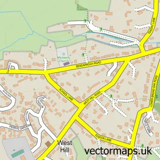
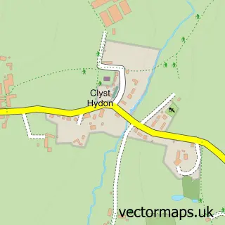
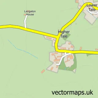
Nearby street map samples around Whimple

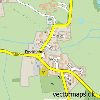
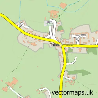
More street maps in Devon
750 metre map area coverage
Boundary, postcode and point of interest information for the 750m x 750m rectangle centred on this sample map.
Boundaries containing map centre
Constituency: Exmouth and Exeter East Co Const
County: Devon County
District: East Devon District
Icb: NHS Devon ICB
Parish: Whimple CP
Police Force: devon and cornwall
Postcode District: EX5
Postcode Sector: EX5 2
Ward: Whimple & Rockbeare Ward
Nearby boundaries intersecting sample
No additional intersecting boundaries found.
Postcode coverage
POI category counts
Pub: 3
Korean Grocery Store: 2
Professional Services: 2
Scout Hall: 2
Train Station: 2
Anglican Church: 1
Art Museum: 1
Attractions And Activities: 1
Beauty Salon: 1
Bike Repair Maintenance: 1
Sample points of interest
- Whimple: St Mary
- Whimple History Society
- Whimple Parish Field
- Sarah Jane's Unisex Hairdressers, Whimple
- DC Cycleworks
- The Square Drop & Collect Post Office
- Business Navigators
- Everglow Chimney Sweeps
- St Mary Church
- Whimple Village Hall
- Build Consultants
- Whimple Stores
Create a larger editable map of Whimple
This sample shows only a 750 metre area. To create a larger map of Whimple, use our map builder to choose your own coverage area, add titles and download editable SVG, PDF and PNG files.
Create a custom map of Whimple