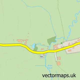
This Rockbeare street map is a detailed vector street map covering a 750m x 750m area. Select a larger area to create and download your own vector street map of Rockbeare.
The 750-metre map sample for Rockbeare covers 134 mapped buildings and approximately 9.0 km of road detail, of which 8 named roads are named. The immediate area includes 1 school, 1 GP surgery within 2 miles and 1 MOT station within 2 miles. To create a larger or custom map of Rockbeare, the map builder lets you define your own coverage area and download editable SVG, PDF and PNG files.
Create a larger editable map of Rockbeare
Choose any area you need and generate a high-quality vector map instantly. Perfect for print, planning, design, business and personal use.

This Rockbeare street map in Devon is available as downloadable SVG, PDF and PNG map files, or as a printed map for planning, business, display, education, local information and design work. You can also create a larger custom map area using the map selector.
What this Rockbeare map sample shows
Rockbeare lies within Rockbeare Cp parish, part of Whimple & Rockbeare ward in the East Devon District local authority area. The postcode geography for this area includes the EX postcode area, the EX5 postcode district and the EX5 2 postcode sector. Residents fall under the Nhs Devon Integrated Care Board for NHS services.
Local features near Rockbeare
Within 2 milesAmenities and services in and around Rockbeare.
Administrative and postcode information for Rockbeare
The local authority covering Rockbeare is East Devon District, within the county of Devon. The settlement lies within Whimple & Rockbeare ward and Rockbeare Cp civil parish. The EX5 postcode district and EX5 2 postcode sector serve the immediate area. NHS provision in the area is delivered through Royal Devon University Healthcare Nhs Foundation Trust.
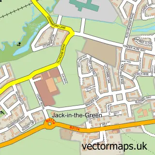
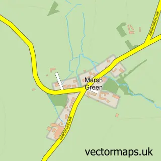
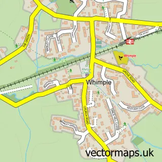
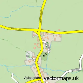
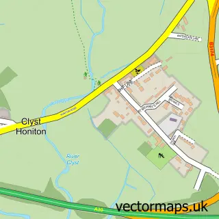
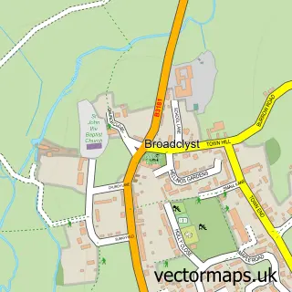
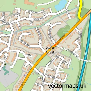
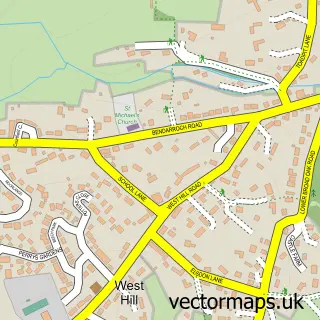
Nearby street map samples around Rockbeare

More street maps in Devon
750 metre map area coverage
Boundary, postcode and point of interest information for the 750m x 750m rectangle centred on this sample map.
Boundaries containing map centre
Constituency: Exmouth and Exeter East Co Const
County: Devon County
District: East Devon District
Icb: NHS Devon ICB
Parish: Rockbeare CP
Police Force: devon and cornwall
Postcode District: EX5
Postcode Sector: EX5 2
Ward: Whimple & Rockbeare Ward
Nearby boundaries intersecting sample
No additional intersecting boundaries found.
Postcode coverage
POI category counts
Veterinarian: 2
Alternative Medicine: 1
Anglican Church: 1
Bar: 1
Building Supply Store: 1
Business: 1
Car Wash: 1
Caterer: 1
Counseling And Mental Health: 1
Education: 1
Sample points of interest
- Natural Health & Healing
- St Mary with St Andrew, Rockbeare
- Craig's Bar
- Hembury's
- Sebby Property Management
- Browns Motorhome and Caravan Mobile Washing Service
- The Cheeky Cow Catering Company
- Retreat Beauty Salon Exeter
- Rockbeare C of E Primary School
- Colourscape Gardening Services
- Sebastian Decorators
- Southern Cleaners Exeter
Create a larger editable map of Rockbeare
This sample shows only a 750 metre area. To create a larger map of Rockbeare, use our map builder to choose your own coverage area, add titles and download editable SVG, PDF and PNG files.
Create a custom map of Rockbeare