This Widdington street map is a detailed vector street map covering a 750m x 750m area. Select a larger area to create and download your own vector street map of Widdington.
The 750-metre map sample for Widdington covers 184 mapped buildings and approximately 8.2 km of road detail, of which 9 named roads are named. The immediate area includes 1 GP surgery within 2 miles, 1 pub and 2 MOT stations within 2 miles. The wider area around Widdington features 2 tourism points of interest and 1 food and drink venue. To create a larger or custom map of Widdington, the map builder lets you define your own coverage area and download editable SVG, PDF and PNG files.
Create a larger editable map of Widdington
Choose any area you need and generate a high-quality vector map instantly. Perfect for print, planning, design, business and personal use.

This Widdington street map in Essex is available as downloadable SVG, PDF and PNG map files, or as a printed map for planning, business, display, education, local information and design work. You can also create a larger custom map area using the map selector.
What this Widdington map sample shows
Widdington lies within Widdington Cp parish, part of Newport ward in the Uttlesford District local authority area. The postcode geography for this area includes the CB postcode area, the CB11 postcode district and the CB11 3 postcode sector. Residents fall under the Nhs Hertfordshire And West Essex Integrated Care Board for NHS services.
Local features near Widdington
Within 2 milesAmenities and services in and around Widdington.
Administrative and postcode information for Widdington
The local authority covering Widdington is Uttlesford District, within the county of Essex. The settlement lies within Newport ward and Widdington Cp civil parish. The CB11 postcode district and CB11 3 postcode sector serve the immediate area. NHS provision in the area is delivered through Cambridge University Hospitals Nhs Foundation Trust.
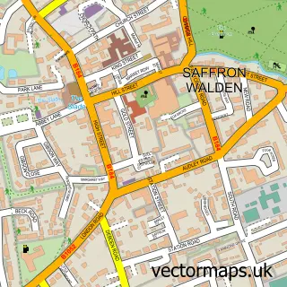
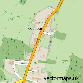
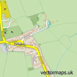
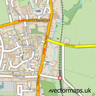
Nearby street map samples around Widdington


More street maps in Essex
750 metre map area coverage
Boundary, postcode and point of interest information for the 750m x 750m rectangle centred on this sample map.
Boundaries containing map centre
Constituency: North West Essex Co Const
County: Essex County
District: Uttlesford District
Icb: NHS Central East ICB
Parish: Widdington CP
Police Force: essex
Postcode District: CB11
Postcode Sector: CB11 3
Ward: Newport Ward
Nearby boundaries intersecting sample
No additional intersecting boundaries found.
Postcode coverage
POI category counts
Advertising Agency: 1
Anglican Church: 1
Attractions And Activities: 1
Building Supply Store: 1
Farm: 1
Information Technology Company: 1
It Service And Computer Repair: 1
Landmark And Historical Building: 1
Medical Supply: 1
Mobile Phone Store: 1
Sample points of interest
- Targit Communications
- St Mary the Virgin, Widdington, Essex.
- Prior's Hall Barn
- C & M Skip Hire
- Priors Hall Barn
- Ring Mail Order Service
- Distinctive Consulting
- Widdington
- Hunter Scientific
- Carphone Warehouse
- Hearn & Son
- Fleur De Lys
Create a larger editable map of Widdington
This sample shows only a 750 metre area. To create a larger map of Widdington, use our map builder to choose your own coverage area, add titles and download editable SVG, PDF and PNG files.
Create a custom map of Widdington